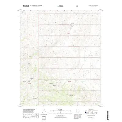
2018 Map of Kennedy Peak
USGS Topo · Published 2018About this map
Coronado National Forest defines the character of this high-elevation landscape, dominated by the peaks and drainages of the Galiuro Mountains. Significant landmarks include the China Peak Observatory Airport and the prominent Kennedy Peak in the southern portion of the sheet. The terrain is marked by a complex network of seasonal water sources and canyons, such as Rattlesnake Cr and Horse Canyon. Local history and land use are evident in the naming of water infrastructure like Horse Canyon Tank and Home Ranch Tank, alongside isolated natural features like Powers Garden Spring. This survey captures the remote character of the Galiuro range, where topography ranges from the flat expanse of Rattlesnake Mesa to the sharp relief of Topout Peak and Rockhouse Peak.
Find a feature on this map
47 named features on this map. Tap any name to fly to it.
Don’t see what you’re looking for? This feature index may not catch every label — zoom into the map to look around manually.
Map Details
Editions of this 2018 Kennedy Peak Map
This is the sole edition of this map. No revisions or reprints were ever made.
Other maps of this area

1938 · Galiuro Mts
USGS Topo · 1:48,000

1938 · Klondyke
USGS Topo · 1:48,000

1940 · Sierra Bonita Ranch
USGS Topo · 1:62,500

1942 · Sierra Bonita Ranch
USGS Topo · 1:62,500

1943 · Galiuro Mts
USGS Topo · 1:62,500

1943 · Klondyke
USGS Topo · 1:62,500

1943 · Sierra Bonita Ranch
USGS Topo · 1:62,500

1944 · Jackson Mtn.
USGS Topo · 1:62,500

1946 · Jackson Mtn.
USGS Topo · 1:62,500

1956 · Tucson
USGS Topo · 1:250,000