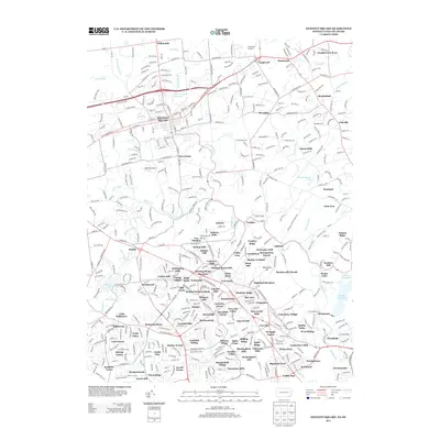
2013 Map of Kennett Square
USGS Topo · Published 2013About this map
The borough of Kennett Square and the surrounding Brandywine Valley countryside are captured here in the early 21st century. This map showcases the suburban development and preserved horticultural spaces that define the region, most notably the expansive Longwood Gardens and the critical water resource of Kennett Square Reservoir. The landscape is a mix of dense residential neighborhoods and family-named developments such as Fox Meadow and Walnut Hill, punctuated by historical hamlets like Mendenhall and Yorklyn.
Find a feature on this map
124 named features on this map. Tap any name to fly to it.
Don’t see what you’re looking for? This feature index may not catch every label — zoom into the map to look around manually.
Map Details
Editions of this 2013 Kennett Square Map
This is the sole edition of this map. No revisions or reprints were ever made.
Other maps of this area

1898 · Elkton
USGS Topo · 1:62,500

1900 · Elkton
USGS Topo · 1:62,500

1901 · West Chester
USGS Topo · 1:62,500

1904 · West Chester
USGS Topo · 1:62,500

1904 · Coatesville
USGS Topo · 1:62,500

1904 · Wilmington
USGS Topo · 1:62,500

1906 · Coatesville
USGS Topo · 1:62,500

1906 · Wilmington
USGS Topo · 1:62,500

1917 · Elkton
USGS Topo · 1:62,500

1918 · Coatesville
USGS Topo · 1:62,500
Featured Places
- Hockessin, DE
- New Garden Township, PA
- Kennett Square, PA
- Willowdale, East Marlborough Township
- Pennsbury Township, PA