Loading...
Loading map...2024 Map of Kenney
USGS Topo · Published 2024About this map
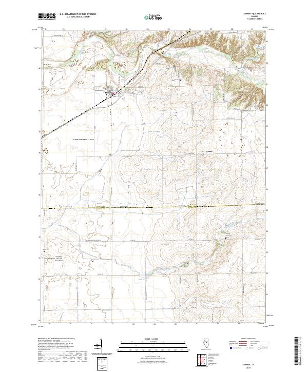
Kenney sits as the central hub of this agricultural landscape at the border of De Witt and Macon counties. The town's grid, including Crosley St and W Benjamin St, transitions quickly into a vast network of section roads like N 300 East Rd and Quarry Rd. The terrain is defined by the winding paths of Salt Creek and Tenmile Creek to the north, which carve through the till plain and provide a wooded contrast to the surrounding fields.
Find a feature on this map
56 named features on this map. Tap any name to fly to it.
Don’t see what you’re looking for? This feature index may not catch every label — zoom into the map to look around manually.
Map Details
Date Portrayed2024
Date Published2024
PublisherU.S. Geological Survey
Map TypeTopographic
Scale1:24000
Physical Dimensions24 x 29 inches
Editions of this 2024 Kenney Map
This is the sole edition of this map. No revisions or reprints were ever made.
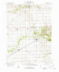
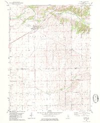
Historical Maps of Kenney Through Time
Featured Locations
Source Details
SourceU.S. Geological Survey
CopyrightPublic Domain