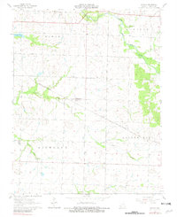
1962 Map of Kenoma
USGS Topo · Published 1981About this map
Agricultural life in Barton County is defined by the rural townships of Lamar, Newport, and Richland, which form the backbone of this prairie landscape. The St Louis - San Francisco railroad cuts diagonally through the territory, serving the small community of Kenoma and the northern edge of Golden City. This survey, based on 1958 aerial photography and 1962 field checks, documents a network of one-room schoolhouses and country churches that anchored Missouri farm life before the consolidation of rural districts.
Find a feature on this map
18 named features on this map. Tap any name to fly to it.
Don’t see what you’re looking for? This feature index may not catch every label — zoom into the map to look around manually.
Map Details
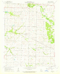
Editions of this 1962 Kenoma Map
2 editions found
Other maps of this area

1886 · Nevada
USGS Topo · 1:125,000

1886 · Carthage
USGS Topo · 1:125,000

1894 · Nevada
USGS Topo · 1:125,000

1894 · Carthage
USGS Topo · 1:125,000

1947 · Joplin
USGS Topo · 1:250,000

1949 · Joplin
USGS Topo · 1:250,000

1954 · Joplin
USGS Topo · 1:250,000

1958 · Joplin
USGS Topo · 1:250,000

1959 · Joplin
USGS Topo · 1:250,000
1962 · Jerico Springs
USGS Topo · 1:24,000