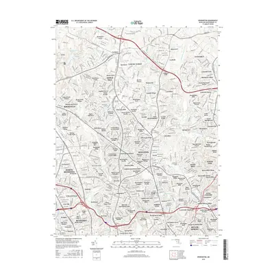
2016 Map of Kensington
USGS Topo · Published 2016About this map
Leisure World and its surrounding residential developments characterize this suburban landscape north of Silver Spring, where organized community planning meets the natural drainage of the Northwest Branch Anacostia River. The area is notably dense with commemorative and institutional sites, including Norbeck Memorial Park, Gate of Heaven Cemetery, and the Yeshiva College of the Nations Capital. These landmarks sit alongside established neighborhoods like Norbeck, Colesville Park, and Four Corners.
Find a feature on this map
532 named features on this map. Tap any name to fly to it.
Don’t see what you’re looking for? This feature index may not catch every label — zoom into the map to look around manually.
Map Details
Editions of this 2016 Kensington Map
This is the sole edition of this map. No revisions or reprints were ever made.
Other maps of this area

1890 · Mt. Vernon
USGS Topo · 1:125,000

1891 · Mt. Vernon
USGS Topo · 1:125,000

1892 · Laurel
USGS Topo · 1:62,500

1893 · Frederick
USGS Topo · 1:125,000

1894 · Laurel
USGS Topo · 1:62,500

1894 · Frederick
USGS Topo · 1:125,000

1894 · Mt. Vernon
USGS Topo · 1:125,000

1897 · Laurel
USGS Topo · 1:62,500

1897 · Mt. Vernon
USGS Topo · 1:125,000

1899 · Patuxent
USGS Topo · 1:125,000