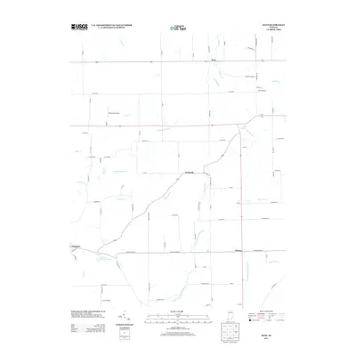
2013 Map of Kent
USGS Topo · Published 2013About this map
Kent and Chelsea anchor this rural landscape in southeastern Indiana, where small settlements are connected by a web of local roads such as W Ford Rd and N Rogers Rd. The terrain is defined by a dense network of waterways, most notably the winding paths of West Fork Fourteenmile Cr and East Fork Fourteenmile Cr, which drain the southern portion of the region. Local aviation history is represented by Wilkerson's Airport situated near Hog Cr.
Find a feature on this map
84 named features on this map. Tap any name to fly to it.
Don’t see what you’re looking for? This feature index may not catch every label — zoom into the map to look around manually.
Map Details
Editions of this 2013 Kent Map
This is the sole edition of this map. No revisions or reprints were ever made.
Other maps of this area

1939 · Bethlehem
USGS Topo · 1:24,000

1939 · Madison West
USGS Topo · 1:24,000

1948 · Bethlehem
USGS Topo · 1:24,000

1948 · Madison West
USGS Topo · 1:24,000

1953 · Madison West
USGS Topo · 1:24,000

1953 · Bethlehem
USGS Topo · 1:24,000

1956 · Otisco
USGS Topo · 1:24,000

1956 · Volga
USGS Topo · 1:24,000

1956 · Blocher
USGS Topo · 1:24,000

1956 · Kent
USGS Topo · 1:24,000