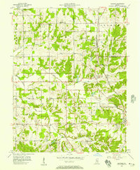
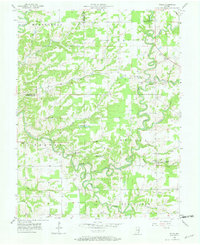
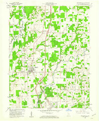
1956 Map of Blocher
USGS Topo · Published 1957About this map
Lexington serves as a primary settlement point in this mid-century survey of the Indiana borderlands between Scott and Jefferson counties. The landscape is defined by the intersection of rural agriculture and early industrial infrastructure, notably the Baltimore and Ohio railroad corridor that connects Blocher to the surrounding region. Significant historical evidence of the area's development is found in the numerous country churches and burial grounds, such as Scaffold Lick Ch and Bethel Cem, which anchor the local townships of Johnson and Lexington.
Find a feature on this map
36 named features on this map. Tap any name to fly to it.
Don’t see what you’re looking for? This feature index may not catch every label — zoom into the map to look around manually.
Map Details
Editions of this 1956 Blocher Map
This is the sole edition of this map. No revisions or reprints were ever made.
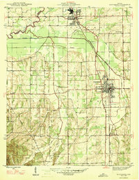
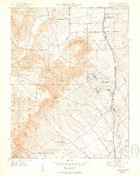
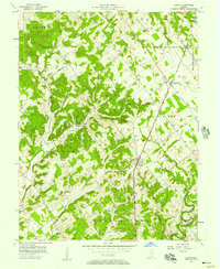
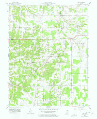
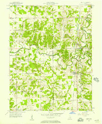
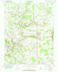
Other maps of this area
1947 · Scottsburg
USGS Topo · 1:24,000
1949 · Henryville
USGS Topo · 1:24,000
1956 · Otisco
USGS Topo · 1:24,000
1956 · Volga
USGS Topo · 1:24,000
1956 · Kent
USGS Topo · 1:24,000
1956 · Deputy
USGS Topo · 1:24,000
1956 · New Washington
USGS Topo · 1:24,000

1956 · Louisville
USGS Topo · 1:250,000
1959 · Crothersville
USGS Topo · 1:24,000
1960 · Henryville
USGS Topo · 1:24,000