Old Maps of Scott County, Indiana
Explore 69 old maps of Scott County, spanning from 1947 to today. These high-resolution historic maps reveal how streets, neighborhoods, landmarks, and natural features evolved over time — perfect for genealogy, metal detecting, research, and local history exploration.
What you can do with these maps:
- See how Scott County changed over time: Compare historical maps to modern-day views to trace roads, homesites, rail lines & more.
- View detailed metadata: Each map includes creators, publishers, year, scale, and archive source.
- Overlay maps with satellite & LiDAR: Visualize the past alongside modern tools to explore terrain & human change.
- Trusted historical sources: Maps sourced from the USGS, Library of Congress, and other archives.
- Access maps your way: View online, download high-res files, or order prints for personal or research use.
Start exploring old maps of Scott County to uncover forgotten places, hidden landmarks, and the deep history beneath your feet.
Scott County, IN maps
(69)- 1947 Map of Scottsburg
 1947 Scottsburg1947 Print · USGSScott County’s agricultural and rail corridor is meticulously detailed shortly after the war, centered on the growing hubs of Scottsburg and Austin. Genealogists can locate family landmarks such as New Providence Ch, Carlisle Sch, and the COUNTY FARM.2 unique versions available
 - 1949 Map of Henryville
 1949 Henryville1949 Print · USGSSouthern Indiana's timbered hills and rural townships are captured here just after the war, showing the deep integration of state conservation and local settlement. Trace family roots at Mt Zion Ch and Mountain Grove Cem, or follow the Pennsylvania rail line through Henryville and Underwood.2 unique versions available
 - 1955 Map of South Boston, 1956 Print
 1955 South Boston1956 Print · USGSThe rural borderlands of Washington and Clark Counties are captured here in the mid-fifties, during a time of active country parishes and small local schools. Genealogists and historians can locate vanished landmarks like Polk Sch, the Mead Cem, and the village of South Boston.4 unique versions available
 - 1956 Map of Otisco, 1957 Print
 1956 Otisco1957 Print · USGSMid-century Clark County is defined here by the unique diagonal boundaries of the Clark Military Grant and the busy Baltimore and Ohio rail line. Genealogists can locate family sites at Walnut Hill Cem, Clegg Sch, and the small settlement of Marysville.3 unique versions available
 - 1956 Map of Blocher, 1957 Print
 1956 Blocher1957 Print · USGSSouthern Indiana's rural landscape is captured here in the mid-fifties as the Baltimore and Ohio railroad passes through Blocher. Researchers can trace family history through sites like Scaffold Lick Ch and the extensive Clark Military Grant.
 - 1956 Map of Kent, 1957 Print
 1956 Kent1957 Print · USGSSouthern Indiana farming communities and rural townships are documented here during the mid-1950s. Genealogists can trace family landmarks and burial sites like White River Cem and Horner Cem, or locate centers of local life like New Bethel Ch.4 unique versions available
 - 1956 Map of Deputy, 1957 Print
 1956 Deputy1957 Print · USGSSouthern Indiana rail and river life are captured here in the mid-fifties, centered on the Baltimore and Ohio line. Genealogists can trace family names through landmarks like Robertson Cem, Alpha Ch, and the settlement of Deputy.
 - 1956 Map of New Washington, 1957 Print
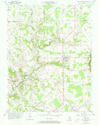 1956 New Washington1957 Print · USGSSouthern Indiana's rural landscape comes into focus during the mid-fifties, showing the township lines and creek-carved valleys of Clark and Scott counties. Researchers can trace ancestral property near New Washington or locate remote sites like Barries Cem and the Pleasant View Ch.4 unique versions available
 - 1956 Map of Louisville, 1971 Print
 1956 Louisville1971 Print · USGSThe Ohio River valley and the Kentucky Bluegrass are captured here during a period of rapid mid-century growth and industrial activity. Genealogists and historians can trace rail-centered towns and military land use at Fort Knox and the Jefferson Proving Ground.2 unique versions available
 - 1958 Map of Little York, 1959 Print
 1958 Little York1959 Print · USGSWashington and Scott Counties are captured here in the late fifties, showcasing a rural Indiana landscape of ridge-top churches and forested hollows. Researchers can trace family sites at McKnight Cem, visit the settlement of Pumpkin Center, or locate the old Township Sch.6 unique versions available
 - 1959 Map of Crothersville, 1960 Print
 1959 Crothersville1960 Print · USGSSoutheast Indiana's rural landscape is captured here in the late fifties, centered on the growing community of Crothersville. Genealogists and historians can trace family roots through numerous landmarks like Marion Ch, Bethany Cem, and the small siding at Retreat.
 - 1960 Map of Henryville, 1961 Print
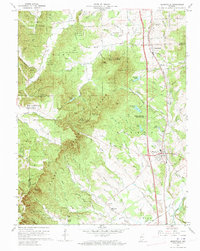 1960 Henryville1961 Print · USGSSouthern Indiana's knobs and forest lands are captured here just as modern conservation efforts and rail transit shaped the local landscape. Genealogists can locate family landmarks like New Chapel Ch, Mt Zion Cem, and the historic Pigeon Roost Memorial.4 unique versions available
 - 1960 Map of Scottsburg, 1961 Print
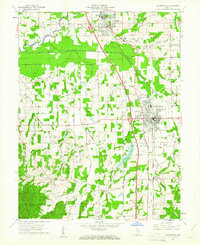 1960 Scottsburg1961 Print · USGSScottsburg and Austin are mapped here at the dawn of the sixties, highlighting the region's rail-dependent growth and rural agricultural network. Genealogists and historians can trace family locations near Mt Zion Church, Leota, and the My Pleasant Cemetery.5 unique versions available
 - 1964 Map of Louisville
 1964 Louisville1964 Print · USGSThe Ohio River valley and Kentucky Bluegrass are captured in the mid-1960s, showing a region balanced between industrial growth and its agrarian roots. Genealogists and historians can trace the development of county seats like Shelbyville and Paris, or locate established institutions such as Georgetown College and Bernheim Forest.
 - 1968 Map of Deputy, 1970 Print
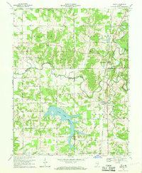 1968 Deputy1970 Print · USGSThe rural landscape around Deputy and Paris Crossing is captured here in the late 1960s, showing the intersection of railroad life and the Muscatatuck River valley. Genealogists can trace family landmarks like Robertson Cem, Mt Zion Ch, and the Baltimore and Ohio rail line.3 unique versions available
 - 1968 Map of Crothersville, 1970 Print
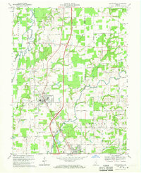 1968 Crothersville1970 Print · USGSSoutheastern Indiana during the late sixties shows a landscape of small towns and rail-connected farms. Genealogists can trace family landmarks like Wesley Chapel, Crothersville Cem, and the old settlement at Uniontown along the Penn Central line.2 unique versions available
 - 1968 Map of Blocher, 1971 Print
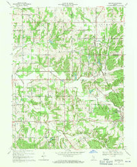 1968 Blocher1971 Print · USGSSoutheastern Indiana's rural crossroads and rail towns are captured here in the late sixties. Researchers can pinpoint long-standing community landmarks like Scaffold Lick Ch, the Baltimore and Ohio rail line, and Lexington Cem.4 unique versions available
 - 1986 Map of Madison
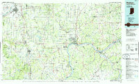 1986 Madison1986 Print · USGSSouthern Indiana and Northern Kentucky are shown here in the mid-eighties, centered on the river corridor and the sprawling Jefferson Proving Ground. Genealogists and historians can trace rail lines like the Seaboard System and locate river towns from Madison to Bethlehem.
 - 1990 Map of Madison, 1991 Print
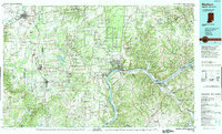 1990 Madison1991 Print · USGSThe Ohio River valley and the southern Indiana plains are documented here in the final decade of the twentieth century. Genealogists and historians can trace family-named crossroads and established rail towns like Dudleytown, Austin, and Crothersville along the P C RR line.
 - 2010 Map of Kent, 2010 Print
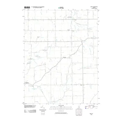 2010 Kent2010 Print · USGSJefferson County's rural landscape at the start of the twenty-first century is captured here through its networks of family cemeteries and winding creeks. Genealogists and local historians can trace legacy sites like Blankenship Cemetery, Slippery Point Cemetery, and the community centers of Lexington and Kent.
 - 2010 Map of Otisco, 2010 Print
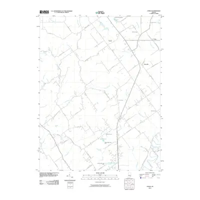 2010 Otisco2010 Print · USGSEastern Clark County comes into focus in this modern era survey, showing the settlements of Marysville and Nabb. Genealogists and historians can trace local family lineages through Bethel Cemetery, Seedtick Cemetery, and the many creek-side roads like Seatick Rd.
 - 2010 Map of Blocher, 2010 Print
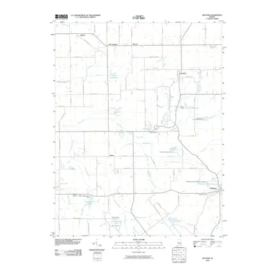 2010 Blocher2010 Print · USGSSoutheast Indiana's rural Scott County landscape is captured here just after the first decade of the new millennium. Researchers can trace historic family burial sites like Reeve Cemetery and Estil Cemetery or locate the small crossroads of New Frankfort and Blocher.
 - 2010 Map of Henryville, 2010 Print
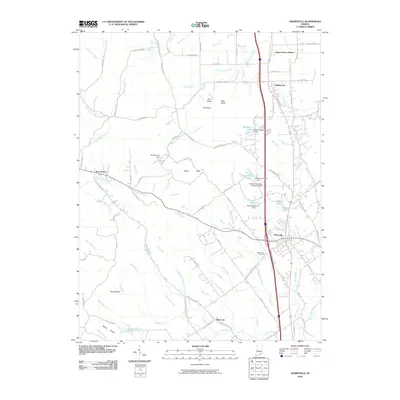 2010 Henryville2010 Print · USGSSouthern Indiana's Clark County is captured here just over a decade ago, showing the corridor between Henryville and Underwood. Genealogists and local historians can trace family locations near Mount Zion Cemetery or follow the CSX rail line past Pigeon Roost Station.
 - 2010 Map of Little York, 2010 Print
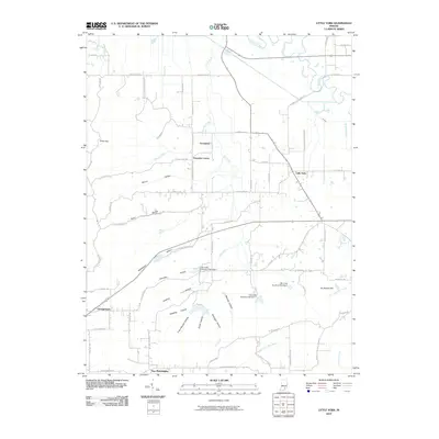 2010 Little York2010 Print · USGSLittle York and its neighboring settlements are shown here in the early twenty-first century amidst a landscape of deep hollows and rural crossroads. Genealogists can trace family-named terrain like Rutherford Hollow and Vic Swaim Hill or locate homes near Pumpkin Center and Gooseport.
 - 2010 Map of New Washington, 2010 Print
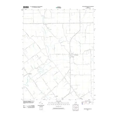 2010 New Washington2010 Print · USGSClark County settlement patterns are captured in this 2010 survey, showcasing the rural crossroads of the eastern Indiana uplands. Local historians can trace family locations near Crown Hill Cemetery, New Market, and the waters of Polk Run.
Showing maps 1-25 of 69
Top cities of Scott County
Frequently asked questions
- What are the different types of historical maps available for Scott County?
- What is the oldest map of Scott County?
- Where can I purchase historical maps of Scott County for my home or office?
- Where can I download high-res historical maps of Scott County?
- Are there historical topographic maps available for Scott County?
- Is there historical aerial imagery available for Scott County?
- Where are historical maps of Scott County sourced from?