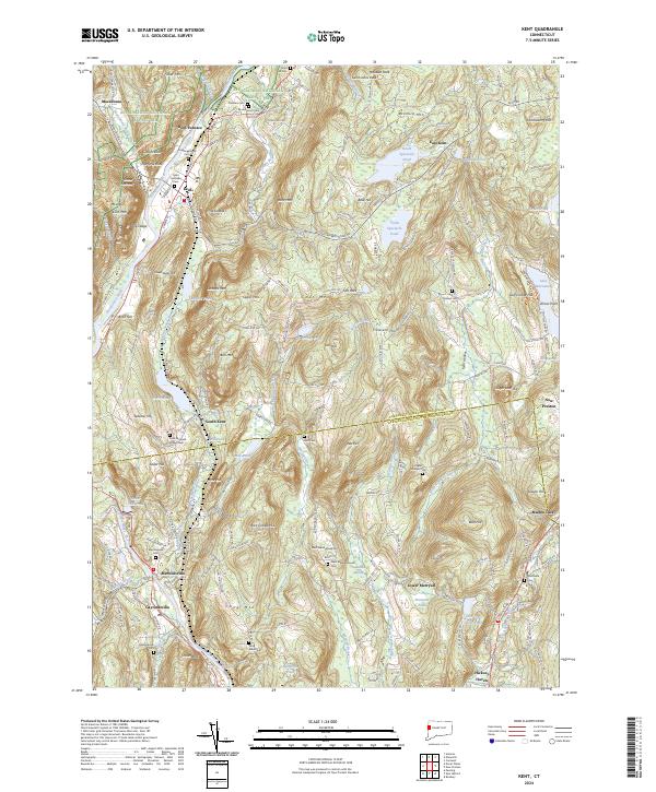
2024 Map of Kent
USGS Topo · Published 2024About this map
The Housatonic River carves a deep path through the Litchfield Hills, anchoring a landscape where colonial-era settlement patterns meet modern conservation. In the northern reaches, the Appalachian National Scenic Trl traverses high ground over Saint Johns Peak and Mauwee Peak, while the valley floor holds the historic clusters of Kent and Kent Furnace. The map reveals a dense network of family and community history preserved in sites like the Flanders Cem and Sacred Heart Cem.
Find a feature on this map
191 named features on this map. Tap any name to fly to it.
Don’t see what you’re looking for? This feature index may not catch every label — zoom into the map to look around manually.
Map Details
Editions of this 2024 Kent Map
This is the sole edition of this map. No revisions or reprints were ever made.
Other maps of this area

1892 · Cornwall
USGS Topo · 1:62,500

1892 · New Milford
USGS Topo · 1:62,500

1893 · New Milford
USGS Topo · 1:62,500

1893 · Cornwall
USGS Topo · 1:62,500

1893 · Clove
USGS Topo · 1:62,500

1894 · Clove
USGS Topo · 1:62,500

1898 · Clove
USGS Topo · 1:62,500

1899 · Millbrook
USGS Topo · 1:62,500

1901 · Clove
USGS Topo · 1:62,500

1902 · Millbrook
USGS Topo · 1:62,500