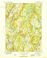
1950 Map of Kent
USGS Topo · Published 1950About this map
The Housatonic River carves through the Litchfield Hills in this mid-century survey, defining the industrial and social development of western Connecticut. Along its banks, the New York New Haven and Hartford RR links the villages of Gaylordsville, Kent, and South Kent (Woodrow Sta), tracing a corridor of commerce and travel. The presence of the Hydroelectric Plant near Bulls Bridge reflects the river's harnessed power, while local education and faith are represented by the prestigious Kent Sch, South Kent School, and the New Milford Church.
Find a feature on this map
98 named features on this map. Tap any name to fly to it.
Don’t see what you’re looking for? This feature index may not catch every label — zoom into the map to look around manually.
Map Details
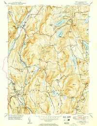
Editions of this 1950 Kent Map
2 editions found
Other maps of this area

1892 · Cornwall
USGS Topo · 1:62,500

1892 · New Milford
USGS Topo · 1:62,500

1893 · New Milford
USGS Topo · 1:62,500

1893 · Cornwall
USGS Topo · 1:62,500

1893 · Clove
USGS Topo · 1:62,500

1894 · Clove
USGS Topo · 1:62,500

1898 · Clove
USGS Topo · 1:62,500

1899 · Millbrook
USGS Topo · 1:62,500

1901 · Clove
USGS Topo · 1:62,500

1902 · Millbrook
USGS Topo · 1:62,500