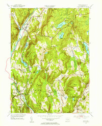
1955 Map of Kent
USGS Topo · Published 1956About this map
The Housatonic River carves a deep valley through Litchfield County, where the New York New Haven and Hartford Railroad tracks parallel the water, connecting settlements like Gaylordsville and Kent. This mid-century landscape is defined by its educational and recreational institutions, including the campus of Kent Sch and numerous seasonal retreats such as Camp Kenmont and Camp Leonard Leonore. High ground is marked by prominent peaks like Segar Mountain and Bull Mountain, while the Appalachian Trail winds through the western ridges near Macedonia Brook. Local heritage is anchored by several historic burial grounds, including the West Meetinghouse Cem and Peet Cem. The presence of Kent Furnace and the Ore Hill Sch reflects the area's industrial and rural education history, captured before modern development altered the character of these riverside and mountain communities.
Find a feature on this map
87 named features on this map. Tap any name to fly to it.
Don’t see what you’re looking for? This feature index may not catch every label — zoom into the map to look around manually.
Map Details
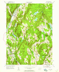
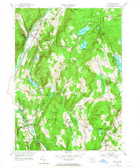
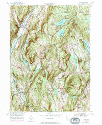
Editions of this 1955 Kent Map
4 editions found
Other maps of this area

1892 · Cornwall
USGS Topo · 1:62,500

1892 · New Milford
USGS Topo · 1:62,500

1893 · New Milford
USGS Topo · 1:62,500

1893 · Cornwall
USGS Topo · 1:62,500

1893 · Clove
USGS Topo · 1:62,500

1894 · Clove
USGS Topo · 1:62,500

1898 · Clove
USGS Topo · 1:62,500

1899 · Millbrook
USGS Topo · 1:62,500

1901 · Clove
USGS Topo · 1:62,500

1902 · Millbrook
USGS Topo · 1:62,500