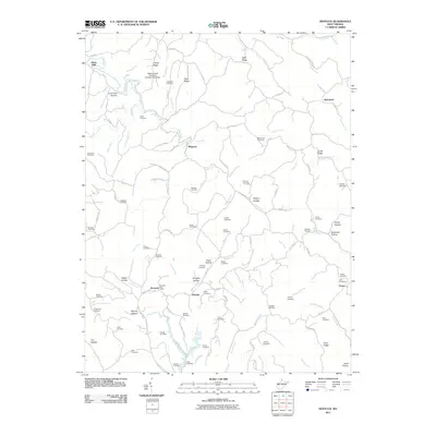
2011 Map of Kentuck
USGS Topo · Published 2011About this map
Kentuck and the Kentuck Post Office serve as central points for this rural West Virginia landscape, where small crossroads communities are linked by winding roads through a series of hollows and ridges. The settlement pattern follows the drainage of the Tug Fork and Middle Fork, with clusters of activity at Belgrove, Fletcher, and Statts Mills. The terrain is defined by its extensive network of family and community burial grounds, including the Williams Cemetery, Skeen Cemetery, and Gandee Cemetery, providing significant genealogical markers across the hillsides.
Find a feature on this map
115 named features on this map. Tap any name to fly to it.
Don’t see what you’re looking for? This feature index may not catch every label — zoom into the map to look around manually.
Map Details
Editions of this 2011 Kentuck Map
This is the sole edition of this map. No revisions or reprints were ever made.
Other maps of this area

1906 · Kenna
USGS Topo · 1:62,500

1906 · Walton
USGS Topo · 1:62,500

1907 · Kenna
USGS Topo · 1:62,500

1907 · Spencer
USGS Topo · 1:62,500

1907 · Walton
USGS Topo · 1:62,500

1907 · Ripley
USGS Topo · 1:62,500

1926 · Ripley
USGS Topo · 1:62,500

1928 · Spencer
USGS Topo · 1:62,500

1928 · Ripley
USGS Topo · 1:62,500

1954 · Charleston
USGS Topo · 1:250,000