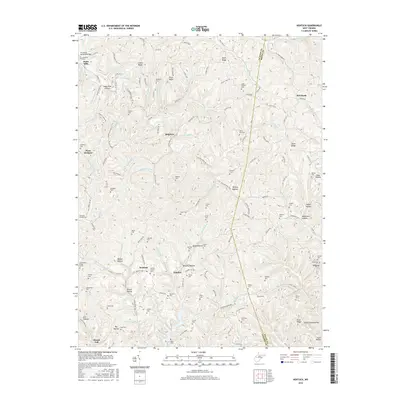
2016 Map of Kentuck
USGS Topo · Published 2016About this map
The boundary between Jackson Co and Roane Co dissects this 2016 landscape, where narrow ridges and deep hollows define the settlement patterns. In the northwest corner, Statts Mills sits near the F.F. Morris Memorial Bridge along Tug Fork, a primary drainage for the area's intricate network of runs and creeks. The topography is dominated by prominent elevations like Limber Ridge, Price Ridge, and Aplin Ridge, which force roads and homes into the valleys or along the narrow crests.
Find a feature on this map
155 named features on this map. Tap any name to fly to it.
Don’t see what you’re looking for? This feature index may not catch every label — zoom into the map to look around manually.
Map Details
Editions of this 2016 Kentuck Map
This is the sole edition of this map. No revisions or reprints were ever made.
Other maps of this area

1906 · Kenna
USGS Topo · 1:62,500

1906 · Walton
USGS Topo · 1:62,500

1907 · Kenna
USGS Topo · 1:62,500

1907 · Spencer
USGS Topo · 1:62,500

1907 · Walton
USGS Topo · 1:62,500

1907 · Ripley
USGS Topo · 1:62,500

1926 · Ripley
USGS Topo · 1:62,500

1928 · Spencer
USGS Topo · 1:62,500

1928 · Ripley
USGS Topo · 1:62,500

1954 · Charleston
USGS Topo · 1:250,000