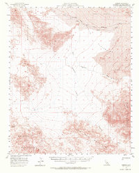
1957 Map of Kerens
USGS Topo · Published 1972About this map
The Union Pacific railroad cuts through the high desert of San Bernardino County, supporting small outposts like Kelso, Glasgow, and Kerens. This 1950s landscape is defined by its dramatic relief and shifting sands, where the massive Kelso Dunes meet the northern edge of the Bristol Mountains. The mapping captures a network of ephemeral watercourses including Kelso Wash, Devils Playground Wash, and Budweiser Wash that drain toward the expansive Playground. Inland from the rail line, the Onyx Mine sits tucked into the slopes of the Old Dad Mountains, reflecting the mineral extraction common in this part of the Mojave. Numerous Jeep Trails spider out from the railroad, providing the only access through the dunes and mountain passes to remote survey points like VABM 3350 Coronado.
Find a feature on this map
22 named features on this map. Tap any name to fly to it.
Don’t see what you’re looking for? This feature index may not catch every label — zoom into the map to look around manually.
Map Details
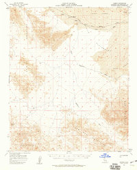
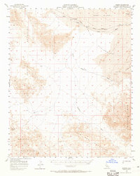
Editions of this 1957 Kerens Map
3 editions found
Other maps of this area

1910 · Ivanpah
USGS Topo · 1:250,000

1912 · Ivanpah
USGS Topo · 1:250,000

1933 · Avawatz Mountains
USGS Topo · 1:250,000

1942 · Ivanpah
USGS Topo · 1:250,000

1942 · Amboy
USGS Topo · 1:250,000

1943 · Amboy
USGS Topo · 1:250,000

1947 · Trona
USGS Topo · 1:250,000

1947 · Kingman
USGS Topo · 1:250,000

1948 · Kingman
USGS Topo · 1:250,000

1948 · Trona
USGS Topo · 1:250,000