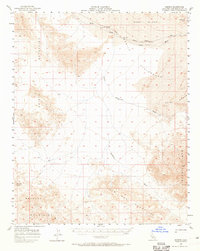
1957 Map of Kerens
USGS Topo · Published 1965About this map
The Union Pacific railroad corridor serves as the primary artery through this arid San Bernardino landscape, linking isolated outposts like Kelso, Glasgow, and Kerens. These small settlements are positioned along the rail line as it skirts the northern edge of the Devils Playground, a vast expanse of shifting sands. The map details a dramatic shift in elevation, from the prominent Kelso Dunes and open Wash plains to the surrounding peaks of the Bristol Mountains and Old Dad Mountains.
Find a feature on this map
16 named features on this map. Tap any name to fly to it.
Don’t see what you’re looking for? This feature index may not catch every label — zoom into the map to look around manually.
Map Details
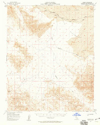
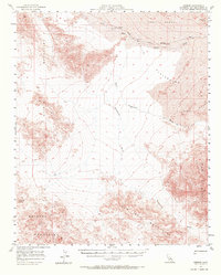
Editions of this 1957 Kerens Map
3 editions found
Other maps of this area

1910 · Ivanpah
USGS Topo · 1:250,000

1912 · Ivanpah
USGS Topo · 1:250,000

1933 · Avawatz Mountains
USGS Topo · 1:250,000

1942 · Ivanpah
USGS Topo · 1:250,000

1942 · Amboy
USGS Topo · 1:250,000

1943 · Amboy
USGS Topo · 1:250,000

1947 · Trona
USGS Topo · 1:250,000

1947 · Kingman
USGS Topo · 1:250,000

1948 · Kingman
USGS Topo · 1:250,000

1948 · Trona
USGS Topo · 1:250,000