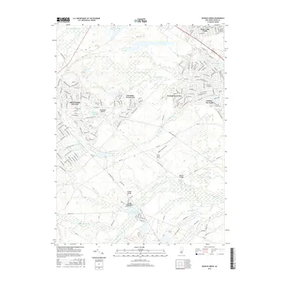
2016 Map of Keswick Grove
USGS Topo · Published 2016About this map
Crestwood Village and Holiday City South anchor this portrait of Ocean County, New Jersey, showcasing the modern residential patterns that define this section of the Pine Barrens. The landscape is a network of planned communities and winding suburban streets such as Hudson Pkwy and Columbus Blvd, interspersed with significant natural features like the Cedar Swamp and Bamber Lake. This era shows the developed footprint of Pine Ridge at Crestwood alongside traditional industry and recreation sites.
Find a feature on this map
184 named features on this map. Tap any name to fly to it.
Don’t see what you’re looking for? This feature index may not catch every label — zoom into the map to look around manually.
Map Details
Editions of this 2016 Keswick Grove Map
This is the sole edition of this map. No revisions or reprints were ever made.
Other maps of this area

1884 · Whitings
USGS Topo · 1:62,500

1888 · Barnegat
USGS Topo · 1:62,500

1888 · Asbury Park
USGS Topo · 1:62,500

1888 · Cassville
USGS Topo · 1:62,500

1888 · Whitings
USGS Topo · 1:62,500

1893 · Asbury Park
USGS Topo · 1:62,500

1893 · Barnegat
USGS Topo · 1:62,500

1894 · Cassville
USGS Topo · 1:62,500

1898 · Barnegat
USGS Topo · 1:62,500

1900 · Cassville
USGS Topo · 1:62,500
Featured Places
- Toms River, NJ
- Manchester Township, NJ
- Berkeley Township, NJ
- Lacey Township, NJ
- Crestwood Village, Manchester Township