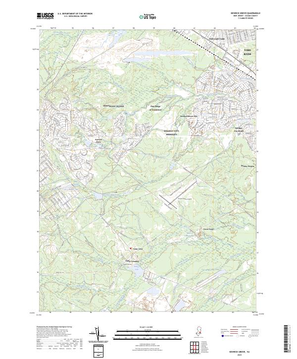
2023 Map of Keswick Grove
USGS Topo · Published 2023About this map
Crestwood Village and the surrounding residential communities of Holiday City South and Holiday Heights dominate this modern landscape in Ocean County, illustrating the extensive mid-to-late 20th-century development of the New Jersey Pine Barrens. The map reveals a high-density suburban pattern defined by winding residential drives and retirement communities, contrasting sharply with the preservation of natural waterways like Wrangel Brook and Michaels Branch.
Find a feature on this map
166 named features on this map. Tap any name to fly to it.
Don’t see what you’re looking for? This feature index may not catch every label — zoom into the map to look around manually.
Map Details
Editions of this 2023 Keswick Grove Map
This is the sole edition of this map. No revisions or reprints were ever made.
Other maps of this area

1884 · Whitings
USGS Topo · 1:62,500

1888 · Barnegat
USGS Topo · 1:62,500

1888 · Asbury Park
USGS Topo · 1:62,500

1888 · Cassville
USGS Topo · 1:62,500

1888 · Whitings
USGS Topo · 1:62,500

1893 · Asbury Park
USGS Topo · 1:62,500

1893 · Barnegat
USGS Topo · 1:62,500

1894 · Cassville
USGS Topo · 1:62,500

1898 · Barnegat
USGS Topo · 1:62,500

1900 · Cassville
USGS Topo · 1:62,500
Featured Places
- Toms River, NJ
- Manchester Township, NJ
- Berkeley Township, NJ
- Lacey Township, NJ
- Crestwood Village, Manchester Township