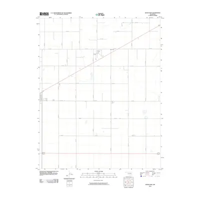
2010 Map of Keyes East
USGS Topo · Published 2010About this map
McCullough sits at a crossroads in the High Plains of the Oklahoma Panhandle, illustrating the vast, grid-based land management of Cimarron County during the early 21st century. The landscape is defined by an expansive network of section-line roads, including E0110 Rd and N0460 Rd, which facilitate transport through this agricultural region. The ephemeral drainage of Goff Creek provides one of the few breaks in the plateau, winding through the northern portion of the quadrangle. This 2010 survey reflects a period when traditional rural settlements remained the primary anchor points for the surrounding ranching and farming community, connected by a rigid infrastructure of numbered county routes like E0140 Rd and E0160 Rd.
Find a feature on this map
19 named features on this map. Tap any name to fly to it.
Don’t see what you’re looking for? This feature index may not catch every label — zoom into the map to look around manually.
Map Details
Editions of this 2010 Keyes East Map
This is the sole edition of this map. No revisions or reprints were ever made.
Other maps of this area

1954 · Dalhart
USGS Topo · 1:250,000

1958 · Dalhart
USGS Topo · 1:250,000

1962 · Dalhart
USGS Topo · 1:250,000

1971 · Griggs NE
USGS Topo · 1:24,000

1971 · Sturgis
USGS Topo · 1:24,000

1971 · Keyes West
USGS Topo · 1:24,000

1971 · Hopkins
USGS Topo · 1:24,000

1971 · Keyes NE
USGS Topo · 1:24,000

1971 · Sampsel Lake
USGS Topo · 1:24,000

1971 · Keyes East
USGS Topo · 1:24,000