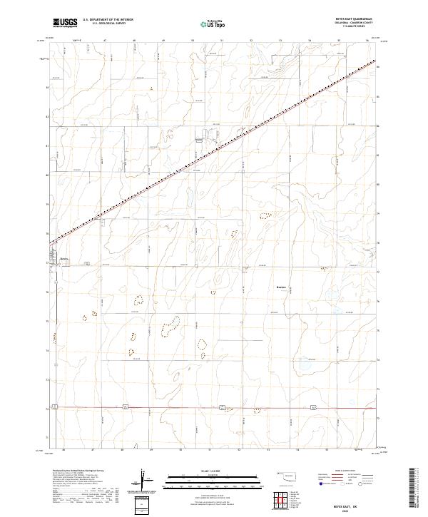
2022 Map of Keyes East
USGS Topo · Published 2022About this map
Keyes sits at a critical intersection of the Oklahoma Panhandle, where the straight lines of the High Plains section roads meet the diagonal paths of the regional rail and highway corridors. This 2022 survey captures the layout of the townsite, including residential and industrial blocks along Jackson Ave and Ramsey Blvd. To the east, the settlement of Burton marks a localized node within a vast grid of agricultural section roads, such as E0140 Rd and N0460 Rd. The landscape is largely defined by this geometric precision, interrupted only by the winding course of Goff Cr in the northern reaches. The map details a landscape managed for production, where the repetitive intervals of county roads support the large-scale farming operations characteristic of Cimarron County.
Find a feature on this map
34 named features on this map. Tap any name to fly to it.
Don’t see what you’re looking for? This feature index may not catch every label — zoom into the map to look around manually.
Map Details
Editions of this 2022 Keyes East Map
This is the sole edition of this map. No revisions or reprints were ever made.
Other maps of this area

1954 · Dalhart
USGS Topo · 1:250,000

1958 · Dalhart
USGS Topo · 1:250,000

1962 · Dalhart
USGS Topo · 1:250,000

1971 · Griggs NE
USGS Topo · 1:24,000

1971 · Sturgis
USGS Topo · 1:24,000

1971 · Keyes West
USGS Topo · 1:24,000

1971 · Hopkins
USGS Topo · 1:24,000

1971 · Keyes NE
USGS Topo · 1:24,000

1971 · Sampsel Lake
USGS Topo · 1:24,000

1971 · Keyes East
USGS Topo · 1:24,000