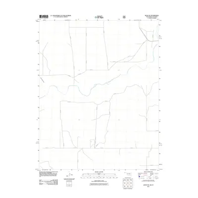
2011 Map of Keyes NE
USGS Topo · Published 2011About this map
The Cimarron River meanders across the high plains of the Oklahoma Panhandle, carving a distinct path through the grid-dominated landscape of Cimarron County. This 2011 survey reveals a territory defined by expansive agricultural sections and a network of section-line roads, including E0030 Rd and N0420 Rd, which provide access across the open terrain. The drainage of Burrows Draw feeds into the river valley, marking one of the few significant topographical shifts in an area otherwise characterized by its uniform elevation. The map illustrates how modern infrastructure, such as the intersection of E0039 Rd and N0424 Rd, follows the historical township and range system, maintaining a pattern of land use that has persisted for generations in this corner of the state near the Colorado border.
Find a feature on this map
22 named features on this map. Tap any name to fly to it.
Don’t see what you’re looking for? This feature index may not catch every label — zoom into the map to look around manually.
Map Details
Editions of this 2011 Keyes NE Map
This is the sole edition of this map. No revisions or reprints were ever made.
Other maps of this area

1892 · Vilas
USGS Topo · 1:125,000

1954 · Dalhart
USGS Topo · 1:250,000

1955 · La Junta
USGS Topo · 1:250,000

1958 · La Junta
USGS Topo · 1:250,000

1958 · Dalhart
USGS Topo · 1:250,000

1962 · Dalhart
USGS Topo · 1:250,000

1968 · La Junta
USGS Topo · 1:250,000

1971 · Keyes SW
USGS Topo · 1:24,000

1971 · Keyes West
USGS Topo · 1:24,000

1971 · Keyes NW
USGS Topo · 1:24,000