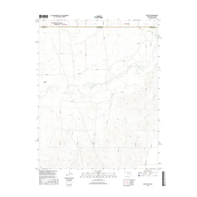
2016 Map of Keyes NE
USGS Topo · Published 2016About this map
The Cimarron River winds through this high-plains landscape, crossing the state line between Colorado and Oklahoma. This 2016 survey captures the borderlands of Baca County and Cimarron County, where the northern edge of the map encompasses a portion of the Comanche National Grassland. The terrain is defined by dramatic contour changes, particularly around Burrows Draw and the river valley, where the sparse vegetation and sandy riverbed typical of the Oklahoma Panhandle are evident. A rigid grid of rural roads, including N0370 Rd and E0035 Rd, provides access across the section lines of the Public Land Survey System. The map highlights the intersection of state boundaries and natural watercourses, illustrating how the river's path dictated early jurisdictional lines in this remote region.
Find a feature on this map
32 named features on this map. Tap any name to fly to it.
Don’t see what you’re looking for? This feature index may not catch every label — zoom into the map to look around manually.
Map Details
Editions of this 2016 Keyes NE Map
This is the sole edition of this map. No revisions or reprints were ever made.
Other maps of this area

1892 · Vilas
USGS Topo · 1:125,000

1954 · Dalhart
USGS Topo · 1:250,000

1955 · La Junta
USGS Topo · 1:250,000

1958 · La Junta
USGS Topo · 1:250,000

1958 · Dalhart
USGS Topo · 1:250,000

1962 · Dalhart
USGS Topo · 1:250,000

1968 · La Junta
USGS Topo · 1:250,000

1971 · Keyes SW
USGS Topo · 1:24,000

1971 · Keyes West
USGS Topo · 1:24,000

1971 · Keyes NW
USGS Topo · 1:24,000