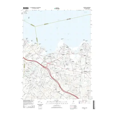
2014 Map of Keyport
USGS Topo · Published 2014About this map
Keyport and the surrounding bayside communities of Monmouth and Middlesex Counties are documented here as they appeared in 2014. The landscape is defined by the complex waterways of the Raritan Bay and Lower Bay, where the Raritan Bay West Reach and Red Bank Reach guide maritime traffic. Inland, the suburban character of Matawan and Hazlet is punctuated by significant local landmarks, including the dual reservoirs of Lake Lefferts and Lake Matawan. This survey provides a precise record of cemetery and memorial sites for genealogists, from the historic Saint Josephs Cem and Cedarwood Cem to the sprawling Shoreline Memorial Gardens. The transportation network is dominated by the Gardiner State Parkway and RT-35, which weave through established neighborhoods like Union Beach, Mechanicsville, and West Keansburg.
Find a feature on this map
77 named features on this map. Tap any name to fly to it.
Don’t see what you’re looking for? This feature index may not catch every label — zoom into the map to look around manually.
Map Details
Editions of this 2014 Keyport Map
This is the sole edition of this map. No revisions or reprints were ever made.
Other maps of this area

1888 · Plainfield
USGS Topo · 1:62,500

1888 · New Brunswick
USGS Topo · 1:62,500

1888 · Sandy Hook
USGS Topo · 1:62,500

1893 · New Brunswick
USGS Topo · 1:62,500

1893 · Plainfield
USGS Topo · 1:62,500

1893 · Sandy Hook
USGS Topo · 1:62,500

1898 · Plainfield
USGS Topo · 1:62,500

1898 · Staten Island
USGS Topo · 1:62,500

1900 · Passaic
USGS Topo · 1:125,000

1900 · Staten Island
USGS Topo · 1:62,500