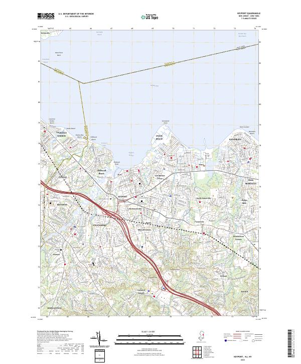
2023 Map of Keyport
USGS Topo · Published 2023About this map
Keyport and its surrounding Monmouth County shorefront are defined by a complex network of coastal inlets and established residential corridors. The landscape is marked by tidal waters like Whale Creek and Luppatatong Creek, which have historically shaped the development of settlements such as Laurence Harbor and Union Beach. Inland, the topography rises toward Telegraph Hill and the Mount Pleasant Hills, offering a distinct contrast to the low-lying reaches of Raritan Bay.
Find a feature on this map
72 named features on this map. Tap any name to fly to it.
Don’t see what you’re looking for? This feature index may not catch every label — zoom into the map to look around manually.
Map Details
Editions of this 2023 Keyport Map
This is the sole edition of this map. No revisions or reprints were ever made.
Other maps of this area

1888 · Plainfield
USGS Topo · 1:62,500

1888 · New Brunswick
USGS Topo · 1:62,500

1888 · Sandy Hook
USGS Topo · 1:62,500

1893 · New Brunswick
USGS Topo · 1:62,500

1893 · Plainfield
USGS Topo · 1:62,500

1893 · Sandy Hook
USGS Topo · 1:62,500

1898 · Plainfield
USGS Topo · 1:62,500

1898 · Staten Island
USGS Topo · 1:62,500

1900 · Passaic
USGS Topo · 1:125,000

1900 · Staten Island
USGS Topo · 1:62,500