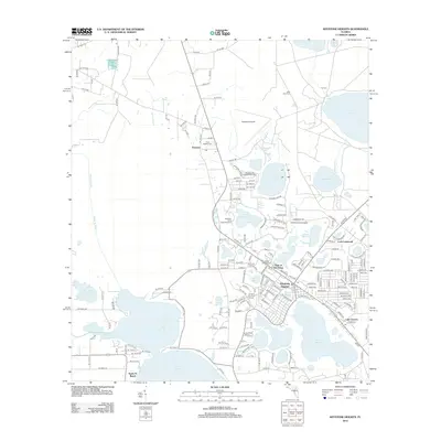
2024 Map of Keystone Heights
USGS Topo · Published 2024About this map
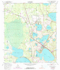
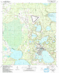
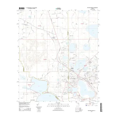
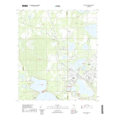
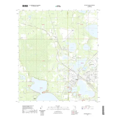
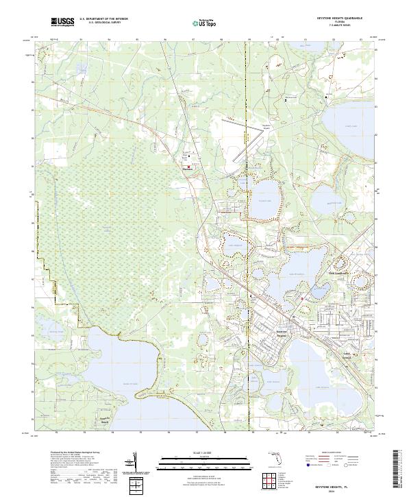
Keystone Heights serves as the central hub of this North Florida landscape, where the convergence of Clay, Bradford, and Alachua counties meets a dense network of freshwater lakes. The topography is defined by significant water bodies such as Lake Geneva, Santa Fe Lake, and Lake Brooklyn, which have historically shaped the settlement patterns of communities like Theressa and Santa Fe Beach. These lakes are connected by the Santa Fe Canal, reflecting a managed hydraulic environment typical of the region's karst geology.
Find a feature on this map
45 named features on this map. Tap any name to fly to it.
Don’t see what you’re looking for? This feature index may not catch every label — zoom into the map to look around manually.
Map Details
Editions of this 2024 Keystone Heights Map
This is the sole edition of this map. No revisions or reprints were ever made.
Historical Maps of Keystone Heights Through Time
7 maps found