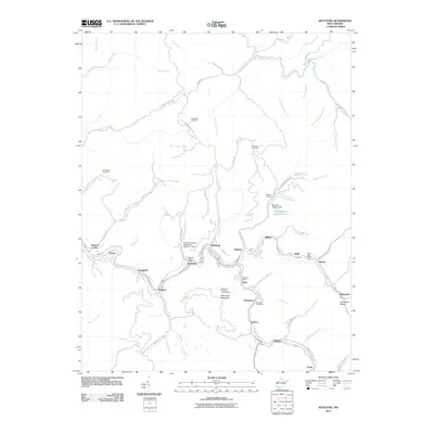
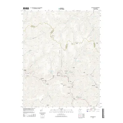
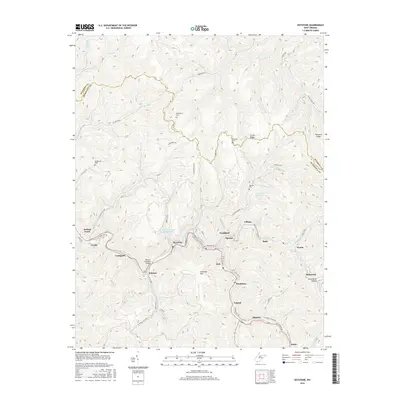
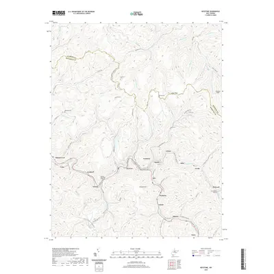
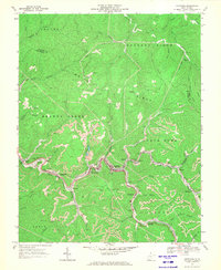
1967 Map of Keystone
USGS Topo · Published 1977About this map
Elkhorn Creek winds through a dense corridor of coal-country settlements, providing the primary arterial for the Norfolk and Western railroad during this mid-century period. The map documents an intensive industrial landscape where mining operations are etched into the steep hillsides of Shawnee Mtn and Barkers Ridge. Tight-knit communities like Keystone, Northfork, and Vivian are squeezed into the narrow valley floor, showing the remarkable density of life and labor required by the local economy. In the heights above the river, family landmarks and spiritual centers such as Rotenberry Cem and Mt Ebenezer Ch stand on the ridges, removed from the industrial activity below. The 1976 revisions highlight the continuing evolution of land use, particularly in the extensive strip mines that contour the elevations near McDowell and Worth.
Find a feature on this map
59 named features on this map. Tap any name to fly to it.
Don’t see what you’re looking for? This feature index may not catch every label — zoom into the map to look around manually.
Map Details
Editions of this 1967 Keystone Map
2 editions found
Historical Maps of Northfork Through Time
6 maps found