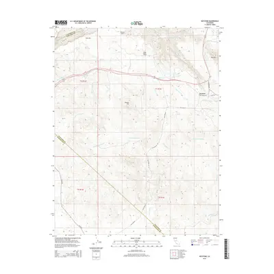
2015 Map of Keystone
USGS Topo · Published 2015About this map
Keystone serves as a central point in this landscape where the Hetch Hetchy Aqueduct cuts a diagonal path through the foothills of the Sierra Nevada. The terrain is defined by prominent elevations such as Table Mtn and Rushing Mtn, overlooking a complex network of seasonal drainages including Green Spring Run and several forks of Wildcat Creek. The intersection of La Grange Rd and Jasper Rd near the settlement highlights the area's rural transit patterns.
Find a feature on this map
29 named features on this map. Tap any name to fly to it.
Don’t see what you’re looking for? This feature index may not catch every label — zoom into the map to look around manually.
Map Details
Editions of this 2015 Keystone Map
This is the sole edition of this map. No revisions or reprints were ever made.
Other maps of this area

1893 · Sonora
USGS Topo · 1:125,000

1896 · Sonora
USGS Topo · 1:125,000

1897 · Sonora
USGS Topo · 1:125,000

1898 · Sonora
USGS Topo · 1:125,000

1915 · Paulsell
USGS Topo · 1:31,680

1915 · La Grange
USGS Topo · 1:24,000

1916 · Cooperstown
USGS Topo · 1:31,680

1916 · Copperopolis
USGS Topo · 1:62,500

1919 · La Grange
USGS Topo · 1:31,680

1942 · Copperopolis
USGS Topo · 1:62,500