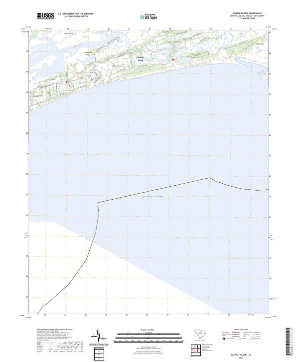
2024 Map of Kiawah Island
USGS Topo · Published 2024About this map
Kiawah Island is defined by its low-lying maritime landscape, where tidal marshlands and coastal hammocks meet the Atlantic Ocean. The northern boundary is shaped by the winding Kiawah River, which separates the island from Johns Island and smaller landmasses like Captain Maynards Island. Geographic landmarks such as Shullbred Point and Cinder Point mark the transition between the river and the inner marshes, while Bass Creek carves a deep path through the eastern reaches toward Eagle Point.
Find a feature on this map
38 named features on this map. Tap any name to fly to it.
Don’t see what you’re looking for? This feature index may not catch every label — zoom into the map to look around manually.
Map Details
Editions of this 2024 Kiawah Island Map
This is the sole edition of this map. No revisions or reprints were ever made.
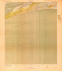
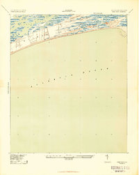
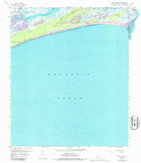
Historical Maps of Vanderhorst Through Time
4 maps found