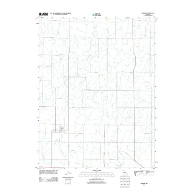
2012 Map of Kidder
USGS Topo · Published 2012About this map
The settlement of Kidder serves as the primary hub of this north-central Missouri landscape, situated near the intersection of several local routes such as Co Hwy-34 and E Front St. The surrounding terrain is defined by a dense network of drainage, where Dog Creek and Marrowbone Creek meander across the countryside. To the south, the Hamilton Reservoir stands as a significant hydrological feature, receiving flows from Tom Creek.
Find a feature on this map
53 named features on this map. Tap any name to fly to it.
Don’t see what you’re looking for? This feature index may not catch every label — zoom into the map to look around manually.
Map Details
Editions of this 2012 Kidder Map
This is the sole edition of this map. No revisions or reprints were ever made.
Other maps of this area

1922 · Gallatin
USGS Topo · 1:62,500

1924 · Polo
USGS Topo · 1:62,500

1924 · Braymer
USGS Topo · 1:62,500

1924 · Winston
USGS Topo · 1:62,500

1950 · Kansas City
USGS Topo · 1:250,000

1953 · Moberly
USGS Topo · 1:250,000

1954 · Kansas City
USGS Topo · 1:250,000

1954 · Moberly
USGS Topo · 1:250,000

1956 · Kansas City
USGS Topo · 1:250,000

1957 · Moberly
USGS Topo · 1:250,000