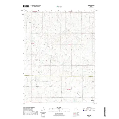
2017 Map of Kidder
USGS Topo · Published 2017About this map
Kidder and the northern outskirts of Hamilton anchor this rural landscape along the border of Daviess County and Caldwell County. The terrain is defined by a dense network of drainage systems, including the meandering paths of Marrowbone Cr, Dog Cr, and Mill Cr. This 2017 survey reveals a deeply established grid of section roads and rural routes such as State Rd J and State Rd D, which connect isolated farmsteads and agricultural plots. Significant local landmarks include Wooderson Cem and Bowman Cem, providing essential points of reference for genealogists tracking family history in this part of Northwest Missouri. Near the southern edge of the quadrangle, the Hamilton Reservoir serves as a notable water feature, while the creek names—W Sheep Cr and E Sheep Cr—hint at the historical livestock-based land use of the region.
Find a feature on this map
48 named features on this map. Tap any name to fly to it.
Don’t see what you’re looking for? This feature index may not catch every label — zoom into the map to look around manually.
Map Details
Editions of this 2017 Kidder Map
This is the sole edition of this map. No revisions or reprints were ever made.
Other maps of this area

1922 · Gallatin
USGS Topo · 1:62,500

1924 · Polo
USGS Topo · 1:62,500

1924 · Braymer
USGS Topo · 1:62,500

1924 · Winston
USGS Topo · 1:62,500

1950 · Kansas City
USGS Topo · 1:250,000

1953 · Moberly
USGS Topo · 1:250,000

1954 · Kansas City
USGS Topo · 1:250,000

1954 · Moberly
USGS Topo · 1:250,000

1956 · Kansas City
USGS Topo · 1:250,000

1957 · Moberly
USGS Topo · 1:250,000