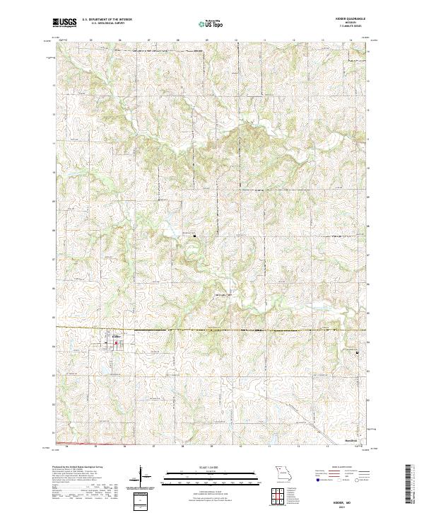
2021 Map of Kidder
USGS Topo · Published 2021About this map
Kidder and Hamilton anchor this rural landscape along the boundary of Daviess and Caldwell Counties. The area is defined by a dense network of drainage, where Marrowbone Creek and its many tributaries, including Dog Creek and Honey Creek, wind through the township grids. For those tracing family histories, the map identifies small rural burial grounds like Wooderson Cemetery and Bowman Cemetery, which sit among a web of section roads and contemporary routes like JC Penney Drive. The layout of the small town of Kidder is clearly visible, showing its street grid from East Front Street to County Street. The drainage pattern of Mill Creek and the two branches of West Sheep Creek and East Sheep Creek illustrate the natural irrigation that has long supported the region's agricultural character.
Find a feature on this map
39 named features on this map. Tap any name to fly to it.
Don’t see what you’re looking for? This feature index may not catch every label — zoom into the map to look around manually.
Map Details
Editions of this 2021 Kidder Map
This is the sole edition of this map. No revisions or reprints were ever made.
Other maps of this area

1922 · Gallatin
USGS Topo · 1:62,500

1924 · Polo
USGS Topo · 1:62,500

1924 · Braymer
USGS Topo · 1:62,500

1924 · Winston
USGS Topo · 1:62,500

1950 · Kansas City
USGS Topo · 1:250,000

1953 · Moberly
USGS Topo · 1:250,000

1954 · Kansas City
USGS Topo · 1:250,000

1954 · Moberly
USGS Topo · 1:250,000

1956 · Kansas City
USGS Topo · 1:250,000

1957 · Moberly
USGS Topo · 1:250,000