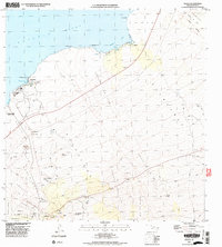
1996 Map of Kiholo
USGS Topo · Published 1998About this map
Kaupulehu Lava Flow dominates this coastal landscape, illustrating the raw volcanic origins of the Hawaii Island shoreline. In the mid-1990s, the terrain shows a stark contrast between recent flows and established settlements like the Kaulana Homesteads and Huehue to the south. Along the coast of Kiholo Bay, the small community of Kiholo sits near the massive Lava Flow of 1859, marking where older eruptions met the Pacific Ocean. The map reveals the early development of Kona Coast State Park and isolated features such as a landing strip at Kaupulehu. Significant inland cinder cones including Puu Kolekole and Puu Mau rise above the 4WD trails, while a coastal Cem near Waiakauhi provides a tangible link to the area's local history and genealogies.
Find a feature on this map
47 named features on this map. Tap any name to fly to it.
Don’t see what you’re looking for? This feature index may not catch every label — zoom into the map to look around manually.
Map Details
Editions of this 1996 Kiholo Map
2 editions found
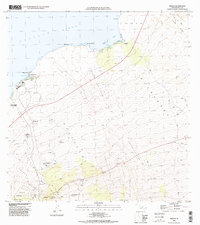
Other maps of this area

1928 · Puako
USGS Topo · 1:62,500

1928 · Kailua
USGS Topo · 1:62,500

1954 · Hawaii North
USGS Topo · 1:250,000

1956 · Puu Hinai
USGS Topo · 1:24,000

1959 · Hawaii North
USGS Topo · 1:250,000

1959 · Kiholo
USGS Topo · 1:24,000

1959 · Hualalai
USGS Topo · 1:24,000
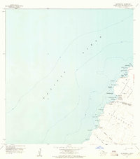
1959 · Anaehoomalu
USGS Topo · 1:24,000

1959 · Makalawena
USGS Topo · 1:24,000

1959 · Keahole Point
USGS Topo · 1:24,000