Loading...
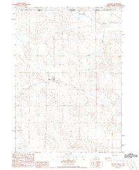
Loading map...1985 Map of Kilgore
USGS Topo · Published 1985About this map
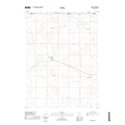
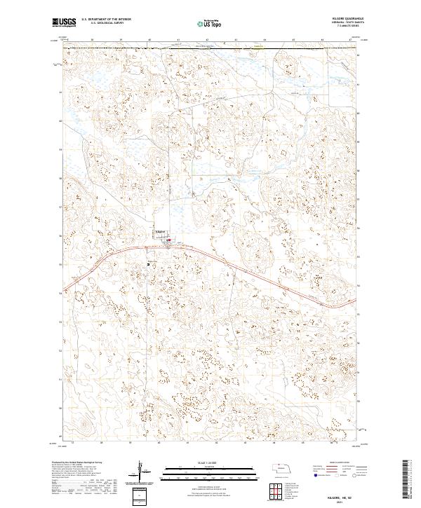
The village of Kilgore serves as the focal point of this Nebraska Sandhills landscape during the early 1980s. Situated along the Chicago and North Western rail line, the settlement is depicted with its residential grid, a local Cem, and a nearby industrial Quarry. The terrain is defined by the winding paths of Minnechaduza Creek and Spring Creek, which drain the open ranch land characteristic of Cherry County.
Find a feature on this map
10 named features on this map. Tap any name to fly to it.
Don’t see what you’re looking for? This feature index may not catch every label — zoom into the map to look around manually.
Map Details
Date Portrayed1985
Date Published1985
PublisherU.S. Geological Survey
Map TypeTopographic
Scale1:24,000
Physical Dimensions22 x 26.9 inches
Editions of this 1985 Kilgore Map
This is the sole edition of this map. No revisions or reprints were ever made.
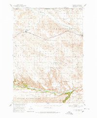
Historical Maps of Kilgore Through Time
6 maps found
Featured Locations
Source Details
SourceU.S. Geological Survey
CopyrightPublic Domain