Loading...
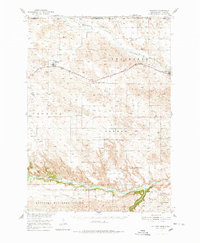
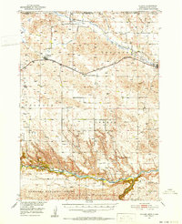
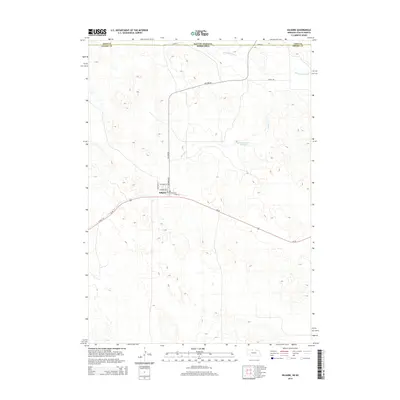
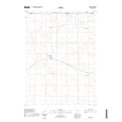
Loading map...1950 Map of Kilgore
USGS Topo · Published 1978About this map
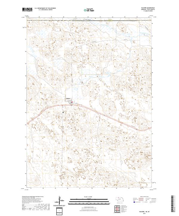
Kilgore and Crookston serve as the primary rail-side hubs along the northern edge of this Cherry County landscape, situated along the Chicago and North Western railroad. The geography transitions from the northern drainages of Minnechaduza Creek and Bull Creek down into the canyon country of the Niobrara River. Near the river, the Anderson Bridge provides a crossing point south of the German and Georgia precincts.
Find a feature on this map
31 named features on this map. Tap any name to fly to it.
Don’t see what you’re looking for? This feature index may not catch every label — zoom into the map to look around manually.
Map Details
Date Portrayed1950
Date Published1978
PublisherU.S. Geological Survey
Map TypeTopographic
Scale1:62,500
Physical Dimensions18 x 21.8 inches
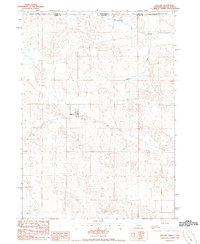
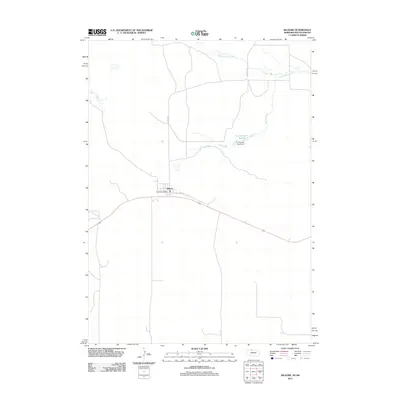
Editions of this 1950 Kilgore Map
2 editions found
Historical Maps of Kilgore Through Time
6 maps found
Featured Locations
Source Details
SourceU.S. Geological Survey
CopyrightPublic Domain