Old Maps of St. Francis Segment, South Dakota
Explore 53 old maps of St. Francis Segment, spanning from 1950 to today. These high-resolution historic maps reveal how streets, neighborhoods, landmarks, and natural features evolved over time — perfect for genealogy, metal detecting, research, and local history exploration.
What you can do with these maps:
- See how St. Francis Segment changed over time: Compare historical maps to modern-day views to trace roads, homesites, rail lines & more.
- View detailed metadata: Each map includes creators, publishers, year, scale, and archive source.
- Overlay maps with satellite & LiDAR: Visualize the past alongside modern tools to explore terrain & human change.
- Trusted historical sources: Maps sourced from the USGS, Library of Congress, and other archives.
- Access maps your way: View online, download high-res files, or order prints for personal or research use.
Start exploring old maps of St. Francis Segment to uncover forgotten places, hidden landmarks, and the deep history beneath your feet.
St. Francis Segment, SD maps
(53)- 1950 Map of Kilgore, 1952 Print
 1950 Kilgore1952 Print · USGSSettled along the tracks of the Chicago and North Western, this northern Nebraska landscape is shown at the mid-century point. Genealogists can trace rural family life through scattered schools like School No 10 and prominent sites like Dittmer Ranch.2 unique versions available
 - 1950 Map of Valentine, 1952 Print
 1950 Valentine1952 Print · USGSThe ranching and rail country of Cherry County comes alive in this 1950s record of Valentine and its surrounding prairie. Researchers can locate early one-room schoolhouses like Ward School, family landmarks like Heth Ranch, and the path of the Chicago and North Western railroad.2 unique versions available
 - 1955 Map of Martin, 1968 Print
 1955 Martin1968 Print · USGSTribal lands and rail corridors define the South Dakota plains in the mid-fifties, from the sand hills to the badlands. Genealogists and historians can trace the early layout of Pine Ridge Indian Reservation settlements and find small rail towns like Stamford and Witten.2 unique versions available
 - 1957 Map of Valentine, 1960 Print
 1957 Valentine1960 Print · USGSNorthern Nebraska's ranching country and the vast Sand Hills are detailed here in the late fifties. Genealogists and historians can locate numerous family-named landmarks like the Dahlgren Ranch and trace the path of the Chicago and North Western railroad through Valentine.3 unique versions available
 - 1958 Map of Martin
 1958 Martin1958 Print · USGSSouth Dakota's southern plains are documented here in the late fifties, showing the expansive Pine Ridge and Rosebud Indian Reservations. Genealogists and historians can locate early settlements along the Chicago Milwaukee St Paul and Pacific line or find family roots near Martin and the Indian Cemetery.
 - 1959 Map of Valentine
 1959 Valentine1959 Print · USGSThe northern Nebraska Sand Hills are captured here in the late fifties, showcasing a vast ranching landscape shaped by the Niobrara and Loup rivers. Genealogists and historians can trace rail-town development along the Chicago and North Western and locate remote outposts like Brownlee or Kennedy.
 - 1969 Map of Olsonville NW, 1972 Print
 1969 Olsonville NW1972 Print · USGSTodd County, South Dakota is mapped in the late sixties, showing the vital relationship between the land and its water sources within the Rosebud Indian Reservation. Genealogists and historians can trace field boundaries and vital water points like Antelope Creek, Well, and Spring.
 - 1969 Map of Rosebud, 1972 Print
 1969 Rosebud1972 Print · USGSThe community of Rosebud is shown in detail during the late 1960s as the heart of the Rosebud Indian Reservation. Researchers can locate significant landmarks including the Spotted Tail Cem, the Paulhamous Landing Area, and Indian Scout Lake.
 - 1969 Map of St. Francis SW, 1972 Print
 1969 St. Francis SW1972 Print · USGSThe Rosebud Indian Reservation borderlands are captured here in the late sixties as they span the state line into Nebraska. Researchers can trace family history at the Star Cem or locate the Sacred Heart Ch near the banks of Bull Creek.
 - 1969 Map of Olsonville SW, 1972 Print
 1969 Olsonville SW1972 Print · USGSThe South Dakota-Nebraska borderlands within the Rosebud Indian Reservation are shown in detail during the late sixties. Genealogists can locate legacy sites like Lakeview Cem, St Agnes Cem, and the community of Lakeview.
 - 1969 Map of St. Francis, 1972 Print
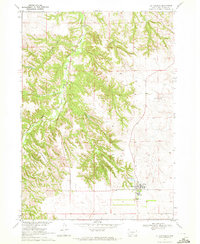 1969 St. Francis1972 Print · USGSThe Rosebud Indian Reservation in the late sixties is centered here on the settlement of St Francis. Researchers can trace the community layout of the time through the Mission Sch, Immaculate Conception Ch, and the rugged topography of Crazy Horse Canyon.
 - 1969 Map of St. Francis SE, 1972 Print
 1969 St. Francis SE1972 Print · USGSTodd County during the late sixties reveals the intersection of tribal lands and the state line on the Great Plains. Researchers can trace the Rosebud Indian Reservation Boundary and locate family sites near Pure Water Cem or Bull Creek.
 - 1982 Map of Mission, 1983 Print
 1982 Mission1983 Print · USGSThe Rosebud Reservation in the early eighties shows a landscape of plains communities and aviation outposts. Genealogists and researchers can trace local centers like Mission, Rosebud, and St Francis, or locate family landmarks near Antelope Lake and the Keya Paha River.
 - 1983 Map of Crookston East, 1984 Print
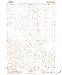 1983 Crookston East1984 Print · USGSThe Nebraska-South Dakota borderlands are captured here in the early 1980s, centered on the Rosebud Indian Reservation. Researchers can trace the Chicago and North Western railroad as it passes through Crookston and follows the bends of Minnechadua Creek.
 - 1985 Map of Crookston West
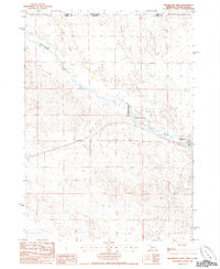 1985 Crookston West1985 Print · USGSThe Nebraska-South Dakota borderlands in the mid-eighties reveal a sparsely settled landscape of ranching and utility expansion. Genealogists and historians can trace the limits of the Rosebud Indian Reservation Boundary near Crookston and follow the route of Minnechaduza Creek.
 - 1985 Map of Kilgore
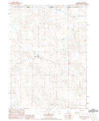 1985 Kilgore1985 Print · USGSKilgore and the surrounding Sandhills are captured in the early 1980s as the railroad still influenced the local economy. Researchers can trace the Chicago and North Western line, locate the village Cem, and see the Rosebud Indian Reservation Boundary to the north.
 - 1985 Map of Valentine
 1985 Valentine1985 Print · USGSThe Nebraska Sandhills in the mid-1980s reveal a landscape of vast wildlife refuges and rail-linked prairie towns. Researchers can trace the Chicago and North Western corridor through Kilgore and Valentine or locate remote landmarks like Snake River Falls.2 unique versions available
 - 2011 Map of Crookston East, 2011 Print
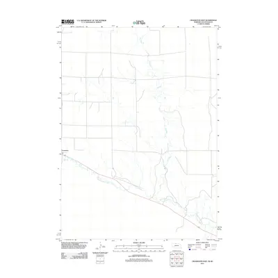 2011 Crookston East2011 Print · USGSCrookston and the high plains of Cherry County are captured here in the early twenty-first century. Genealogists and local historians can trace the town grid along Maple St or follow the riparian course of Minnechaduza Creek and Dry Creek.
 - 2011 Map of Crookston West, 2011 Print
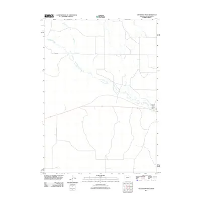 2011 Crookston West2011 Print · USGSCrookston and the winding valley of the Minnechaduza Creek are captured here in 2011, showing the enduring ranching character of northern Nebraska. Researchers can trace local landmarks like the Crookston Post Office and rural routes such as German Settlement Rd.
 - 2011 Map of Kilgore, 2011 Print
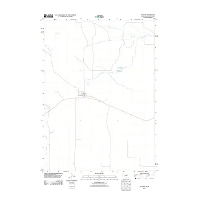 2011 Kilgore2011 Print · USGSKilgore sits in the heart of Cherry County just after the turn of the millennium, centered around the local Kilgore Post Office. Genealogists and researchers can trace the rural landscape along Minnechaduza Creek or locate the site of the Fox Reservoir Number 2.
 - 2012 Map of Saint Francis SE, 2012 Print
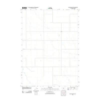 2012 Saint Francis SE2012 Print · USGSTodd County, South Dakota, is captured in this early 21st-century survey of the open prairie landscape. Genealogists and local historians can locate the Pure Water Cem or trace the routes of Nolette Rd and Dry Cr.
 - 2012 Map of Saint Francis SW, 2012 Print
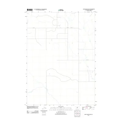 2012 Saint Francis SW2012 Print · USGSTodd County, South Dakota, is shown here in the early twenty-first century, featuring a landscape shaped by creek beds and rural infrastructure. Researchers can locate Star Cem and trace the paths of Minnechaduza Cr and Bull Cr.
 - 2012 Map of Rosebud, 2012 Print
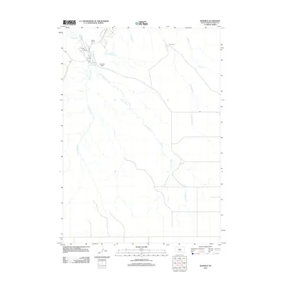 2012 Rosebud2012 Print · USGSThe Rosebud Indian Reservation is documented here in the early twenty-first century, showing the settlement patterns and water systems of Todd County. Genealogists and researchers can locate Spotted Tail Cem, the Tribal Ranch, and landmarks like Rosebud Butte.
 - 2012 Map of Saint Francis, 2012 Print
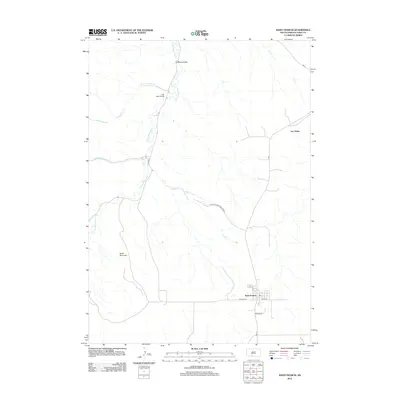 2012 Saint Francis2012 Print · USGSTodd County's rural landscape is captured here in the early twenty-first century, centered on the community of Saint Francis. Genealogists and local historians can trace the roads and waterways connecting Two Strike and Grass Mountain via the Iron Shell Bridge.
 - 2012 Map of Olsonville NW, 2012 Print
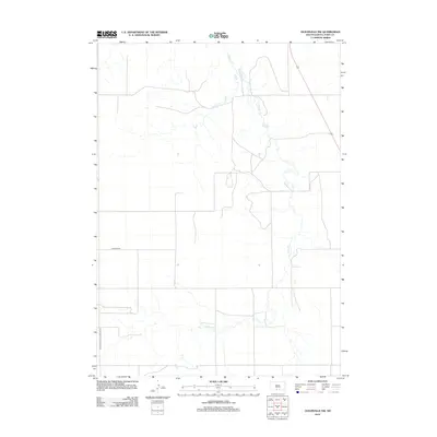 2012 Olsonville NW2012 Print · USGSTodd County, South Dakota, is shown here as it appeared in the early 2010s, capturing the open landscape of the Rosebud Reservation. Researchers can trace the winding path of Antelope Cr and the rural network of Lakeview Rd through this quiet territory.
Showing maps 1-25 of 53
Top cities near St. Francis Segment
Top neighborhoods of St. Francis Segment
Frequently asked questions
- What are the different types of historical maps available for St. Francis Segment?
- What is the oldest map of St. Francis Segment?
- Where can I purchase historical maps of St. Francis Segment for my home or office?
- Where can I download high-res historical maps of St. Francis Segment?
- Are there historical topographic maps available for St. Francis Segment?
- Is there historical aerial imagery available for St. Francis Segment?
- Where are historical maps of St. Francis Segment sourced from?