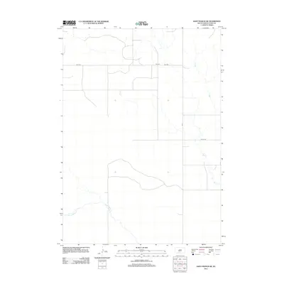
2012 Map of Saint Francis SW
USGS Topo · Published 2012About this map
Star Cem sits along Bia 30 Rd in this section of Todd County, marking a localized point of historical and genealogical interest within a largely open landscape. The terrain is defined by the winding paths of Bull Cr to the east and Minnechaduza Cr in the southwest corner, showcasing the natural drainage patterns that have historically shaped land use and travel in the region. Transportation is facilitated by a network of rural routes, including Bia 13 and Nolette Rd, which reflect the infrastructure managed by the Bureau of Indian Affairs. The placement of these roads and the solitary cemetery suggests a sparse settlement pattern common to this part of South Dakota in the early 21st century, where large-scale land management and natural watercourses dictate the human geography.
Find a feature on this map
6 named features on this map. Tap any name to fly to it.
Don’t see what you’re looking for? This feature index may not catch every label — zoom into the map to look around manually.
Map Details
Editions of this 2012 Saint Francis SW Map
This is the sole edition of this map. No revisions or reprints were ever made.
Other maps of this area

1950 · Kilgore
USGS Topo · 1:62,500

1950 · Cody
USGS Topo · 1:62,500

1955 · Martin
USGS Topo · 1:250,000

1957 · Valentine
USGS Topo · 1:250,000

1958 · Martin
USGS Topo · 1:250,000

1959 · Valentine
USGS Topo · 1:250,000

1969 · Iron Shell Flat East
USGS Topo · 1:24,000

1969 · Rosebud
USGS Topo · 1:24,000

1969 · Spring Creek
USGS Topo · 1:24,000

1969 · St. Francis SW
USGS Topo · 1:24,000
Featured Places
- St. Francis Segment, SD
- Spring Creek Segment, SD
- Spring Creek, Spring Creek Segment
- Todd County, SD
- United States