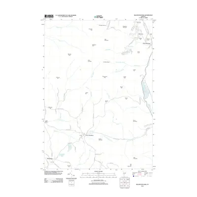
2012 Map of Killington Peak
USGS Topo · Published 2012About this map
Killington Peak and the surrounding summits of the Coolidge Range dominate this high-elevation landscape in the Green Mountains during the early 21st century. The map centers on the transition from the recreational infrastructure of the Killington Ski Area in the north to the more secluded valleys of North Shrewsbury and Shrewsbury in the south. Notable local history is preserved in several family and community burial grounds, including the Wood-Clement Episcopal Cem and Church of Our Saviour Cem near South Sherburne. The drainage patterns of the region are clearly defined by the headwaters of the Cold River and Great Roaring Brook, while the Woodward Reservoir and Black Pond sit along the eastern edge. A network of primitive and local roads like Tin Shanty Rd and Old Plymouth Rd suggests the enduring rural character of these mountain townships.
Find a feature on this map
90 named features on this map. Tap any name to fly to it.
Don’t see what you’re looking for? This feature index may not catch every label — zoom into the map to look around manually.
Map Details
Editions of this 2012 Killington Peak Map
This is the sole edition of this map. No revisions or reprints were ever made.
Other maps of this area

1891 · Rutland
USGS Topo · 1:62,500

1893 · Wallingford
USGS Topo · 1:62,500

1893 · Rutland
USGS Topo · 1:62,500

1911 · Woodstock
USGS Topo · 1:62,500

1913 · Woodstock
USGS Topo · 1:62,500

1928 · Ludlow
USGS Topo · 1:48,000

1929 · Ludlow
USGS Topo · 1:62,500

1932 · Ludlow
USGS Topo · 1:62,500

1943 · Woodstock
USGS Topo · 1:62,500

1950 · Glens Falls
USGS Topo · 1:250,000