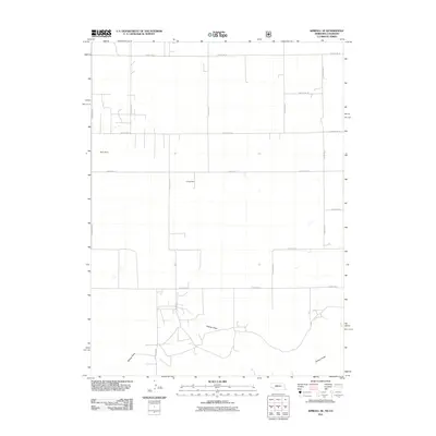
2011 Map of Kimball SE
USGS Topo · Published 2011About this map
Sidney Draw meanders through this agricultural landscape in northeastern Colorado at the turn of the 21st century. The map reveals a highly structured grid of section roads, including County RD-18 along the northern boundary and County RD-57 running north-south, which define the movement and settlement patterns of this rural area. Local water management is evident through features like Daro Dam and Long Dam, which serve as vital landmarks for understanding land use and irrigation history in Weld County. This survey provides a precise look at the rural infrastructure and drainage systems that supported local ranching and farming operations during this era.
Find a feature on this map
16 named features on this map. Tap any name to fly to it.
Don’t see what you’re looking for? This feature index may not catch every label — zoom into the map to look around manually.
Map Details
Editions of this 2011 Kimball SE Map
This is the sole edition of this map. No revisions or reprints were ever made.
Other maps of this area

1954 · Sterling
USGS Topo · 1:250,000

1954 · Scottsbluff
USGS Topo · 1:250,000

1958 · Scottsbluff
USGS Topo · 1:250,000

1958 · Sterling
USGS Topo · 1:250,000

1972 · Potter SW
USGS Topo · 1:24,000

1972 · Dix
USGS Topo · 1:24,000

1972 · Owasco
USGS Topo · 1:24,000

1972 · Kimball SE
USGS Topo · 1:24,000

1972 · Kimball SW
USGS Topo · 1:24,000

1972 · Kimball
USGS Topo · 1:24,000