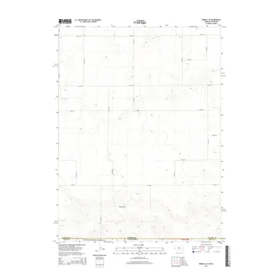
2014 Map of Kimball SE
USGS Topo · Published 2014About this map
Pawnee National Grassland defines the southern reach of this landscape, where the High Plains of Colorado meet the Nebraska border. The terrain is characterized by broad drainage patterns and seasonal water storage, most notably at Long Reservoir and Daro Reservoir. A sparse but regular network of section-line roads, such as Co Road 14 and Co Road 51, provides the primary structure for this agricultural and grazing region. The land falls away toward the southeast along Sidney Draw, illustrating the subtle topographic shifts that dictate water movement across the shortgrass prairie. This 2014 survey documents the enduring rural layout of Weld County and its intersection with Logan County and Kimball County at the state line.
Find a feature on this map
22 named features on this map. Tap any name to fly to it.
Don’t see what you’re looking for? This feature index may not catch every label — zoom into the map to look around manually.
Map Details
Editions of this 2014 Kimball SE Map
This is the sole edition of this map. No revisions or reprints were ever made.
Other maps of this area

1954 · Sterling
USGS Topo · 1:250,000

1954 · Scottsbluff
USGS Topo · 1:250,000

1958 · Scottsbluff
USGS Topo · 1:250,000

1958 · Sterling
USGS Topo · 1:250,000

1972 · Potter SW
USGS Topo · 1:24,000

1972 · Dix
USGS Topo · 1:24,000

1972 · Owasco
USGS Topo · 1:24,000

1972 · Kimball SE
USGS Topo · 1:24,000

1972 · Kimball SW
USGS Topo · 1:24,000

1972 · Kimball
USGS Topo · 1:24,000