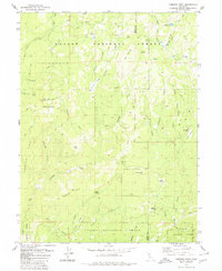
1979 Map of Kimshew Point
USGS Topo · Published 1980About this map
Lassen National Forest and Plumas National Forest converge in this high-elevation corner of the Sierra Nevada, documented during the late 1970s. The landscape is defined by the steep drainage of Kimshew Creek and its many tributaries, such as Little Kimshew Creek and Balsam Creek. Human activity is primarily limited to seasonal camps and resource extraction, evidenced by the Campbell Cow Camp in the northeast and the Snow Mine located near Big Crane Valley.
Find a feature on this map
51 named features on this map. Tap any name to fly to it.
Don’t see what you’re looking for? This feature index may not catch every label — zoom into the map to look around manually.
Map Details
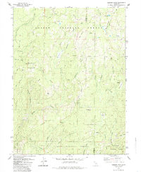
Editions of this 1979 Kimshew Point Map
2 editions found
Other maps of this area

1886 · Lassen Peak
USGS Topo · 1:250,000

1888 · Bidwell Bar
USGS Topo · 1:125,000

1891 · Bidwell Bar
USGS Topo · 1:125,000

1891 · Chico
USGS Topo · 1:125,000

1892 · Lassen Peak
USGS Topo · 1:250,000

1893 · Chico
USGS Topo · 1:125,000

1893 · Bidwell Bar
USGS Topo · 1:125,000

1894 · Lassen Peak
USGS Topo · 1:250,000

1895 · Bidwell Bar
USGS Topo · 1:125,000

1895 · Chico
USGS Topo · 1:125,000