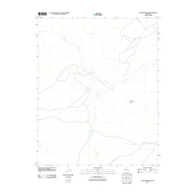
2010 Map of Kin Klizhin Ruins
USGS Topo · Published 2010About this map
Bisa'ani Archaeological District serves as a central cultural landmark in this high-desert landscape, where ephemeral watercourses dictate the geography of the Eastern Navajo Agency. The land is defined by the complex drainage systems of the Chaco River and Chaco Wash, which converge and diverge across the arid terrain. The intricate network of seasonal flows, including the Kin Klizhin Wash and Ah-shi-sle-pah Wash, illustrates the natural irrigation patterns essential to the region's ancient and modern history. Modern access is facilitated by isolated paths such as Indian Service Route 7030, which connects these remote archaeological sites to the broader New Mexico road network, including County Rd 7875. This 2010 survey records a landscape that remains primarily characterized by its vast alluvial features and significant cultural heritage sites.
Find a feature on this map
7 named features on this map. Tap any name to fly to it.
Don’t see what you’re looking for? This feature index may not catch every label — zoom into the map to look around manually.
Map Details
Editions of this 2010 Kin Klizhin Ruins Map
This is the sole edition of this map. No revisions or reprints were ever made.
Other maps of this area

1883 · Mt. Taylor
USGS Topo · 1:250,000

1886 · Wingate
USGS Topo · 1:250,000

1886 · Mt. Taylor
USGS Topo · 1:250,000

1889 · Largo
USGS Topo · 1:250,000

1889 · Chaco
USGS Topo · 1:250,000

1892 · Wingate
USGS Topo · 1:250,000

1892 · Chaco
USGS Topo · 1:250,000

1892 · Mt. Taylor
USGS Topo · 1:250,000

1895 · Largo
USGS Topo · 1:250,000

1899 · Mt. Taylor
USGS Topo · 1:250,000