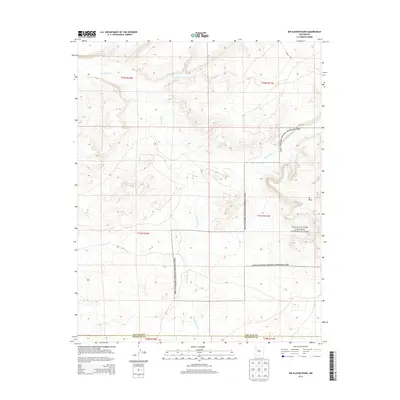
2013 Map of Kin Klizhin Ruins
USGS Topo · Published 2013About this map
Chaco Culture National Historical Park anchors the eastern portion of this high-desert landscape, where ancient Ancestral Puebloan history meets the modern management of the Eastern Navajo Agency. The map captures a complex hydrological network defined by the Chaco River and its major tributaries, including Ah-shi-sle-pah Wash and Kin Klizhin Wash. These seasonal watercourses have carved the terrain into distinctive landforms like W Mesa, illustrating the geographic isolation that preserved these cultural sites for centuries.
Find a feature on this map
13 named features on this map. Tap any name to fly to it.
Don’t see what you’re looking for? This feature index may not catch every label — zoom into the map to look around manually.
Map Details
Editions of this 2013 Kin Klizhin Ruins Map
This is the sole edition of this map. No revisions or reprints were ever made.
Other maps of this area

1883 · Mt. Taylor
USGS Topo · 1:250,000

1886 · Wingate
USGS Topo · 1:250,000

1886 · Mt. Taylor
USGS Topo · 1:250,000

1889 · Largo
USGS Topo · 1:250,000

1889 · Chaco
USGS Topo · 1:250,000

1892 · Wingate
USGS Topo · 1:250,000

1892 · Chaco
USGS Topo · 1:250,000

1892 · Mt. Taylor
USGS Topo · 1:250,000

1895 · Largo
USGS Topo · 1:250,000

1899 · Mt. Taylor
USGS Topo · 1:250,000