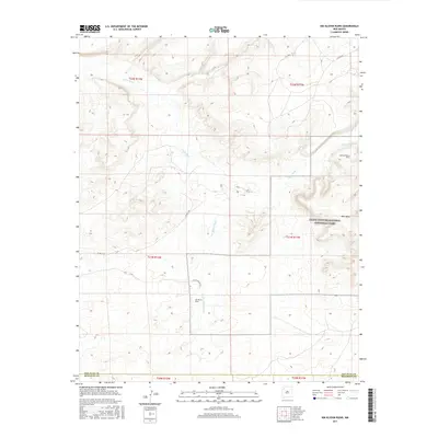
2017 Map of Kin Klizhin Ruins
USGS Topo · Published 2017About this map
Kin Klizhin Ruins stands as a central archaeological landmark in this high-desert landscape, located just south of the Chaco Culture National Historical Park boundary. The area is defined by a complex network of ephemeral drainage systems, including the Chaco River and Ah-shi-sle-pah Wash, which carve through the arid terrain. To the east, West Mesa rises above the basin, providing a geographical anchor for the ancient sites that dot the region.
Find a feature on this map
21 named features on this map. Tap any name to fly to it.
Don’t see what you’re looking for? This feature index may not catch every label — zoom into the map to look around manually.
Map Details
Editions of this 2017 Kin Klizhin Ruins Map
This is the sole edition of this map. No revisions or reprints were ever made.
Other maps of this area

1883 · Mt. Taylor
USGS Topo · 1:250,000

1886 · Wingate
USGS Topo · 1:250,000

1886 · Mt. Taylor
USGS Topo · 1:250,000

1889 · Largo
USGS Topo · 1:250,000

1889 · Chaco
USGS Topo · 1:250,000

1892 · Wingate
USGS Topo · 1:250,000

1892 · Chaco
USGS Topo · 1:250,000

1892 · Mt. Taylor
USGS Topo · 1:250,000

1895 · Largo
USGS Topo · 1:250,000

1899 · Mt. Taylor
USGS Topo · 1:250,000