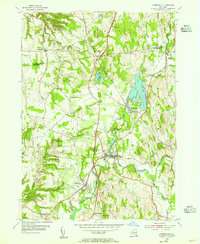
1953 Map of Kinderhook
USGS Topo · Published 1955About this map
Kinderhook and Valatie anchor this mid-century portrait of Columbia County, where the landscape is defined by the winding course of Kinderhook Creek and the rail-corridor operations of the New York Central. The map documents the region's deep literary and civic heritage, specifically noting the House of History and the Ichabod Crane Community House in the village centers. This survey period captures the area just before significant suburban expansion, showing a dense network of orchards and small settlements like Niverville and North Chatham. Waterways such as the Valatie Kill and Muitzes Kill weave through the terrain, supporting the established agricultural and early industrial clusters. The presence of several cemeteries and the distinct Valatie Colony provide valuable touchpoints for genealogists researching the families of the upper Hudson Valley during the 1950s.
Find a feature on this map
26 named features on this map. Tap any name to fly to it.
Don’t see what you’re looking for? This feature index may not catch every label — zoom into the map to look around manually.
Map Details
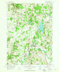
Editions of this 1953 Kinderhook Map
2 editions found
Other maps of this area

1893 · Troy
USGS Topo · 1:62,500

1893 · Coxsackie
USGS Topo · 1:62,500

1893 · Albany
USGS Topo · 1:62,500

1894 · Coxsackie
USGS Topo · 1:62,500

1895 · Troy
USGS Topo · 1:62,500

1895 · Albany
USGS Topo · 1:62,500

1898 · Albany
USGS Topo · 1:62,500

1898 · Troy
USGS Topo · 1:62,500

1903 · Kinderhook
USGS Topo · 1:62,500

1925 · Troy
USGS Topo · 1:48,000