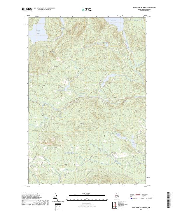
2024 Map of King And Bartlett Lake
USGS Topo · Published 2024About this map
King and Bartlett Lake and Spencer Lake dominate this high-elevation wilderness in Somerset County, where a complex network of waterways defines the landscape. The drainage system is anchored by Spencer Stream and Little Spencer Stream, which navigate through features such as Spencer Gut and the turbulent Gore Rapids. This terrain is characterized by significant peaks like Bear Mtn, Black Nubble, and Pray Hill, alongside expansive wetlands including Joe Pokum Bog. A limited network of gravel corridors, including Spencer Rd and Fontaine Rd, provides the only terrestrial access to these remote ponds and streams. The geography illustrates a contemporary view of Maine's managed timberlands and conservation areas, where naming conventions like Little King Ridge and Horseshoe Pond reflect a history of local geographic identification based on landforms and water bodies.
Find a feature on this map
26 named features on this map. Tap any name to fly to it.
Don’t see what you’re looking for? This feature index may not catch every label — zoom into the map to look around manually.
Map Details
Editions of this 2024 King And Bartlett Lake Map
This is the sole edition of this map. No revisions or reprints were ever made.
Other maps of this area

1925 · Pierce Pond
USGS Topo · 1:48,000

1927 · Pierce Pond
USGS Topo · 1:62,500

1928 · Spencer
USGS Topo · 1:48,000

1928 · Dead River
USGS Topo · 1:62,500

1928 · Stratton
USGS Topo · 1:48,000

1931 · Dead River
USGS Topo · 1:48,000

1932 · Stratton
USGS Topo · 1:62,500

1932 · Spencer
USGS Topo · 1:62,500

1944 · Dead River
USGS Topo · 1:62,500

1944 · Pierce Pond
USGS Topo · 1:62,500
Featured Places
- T3 R5 BKP WKR, ME
- King & Bartlett Township, ME
- Spring Lake Township, ME
- Flagstaff Township, ME
- Somerset County, ME