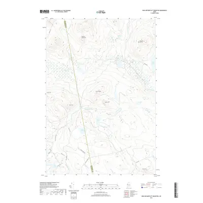
2018 Map of King And Bartlett Mountain
USGS Topo · Published 2018About this map
King and Bartlett Mtn and Spotted Spruce Mtn dominate this interior Maine landscape, where the border between Somerset Co and Franklin Co cuts through a complex network of waterways and ridges. The drainage patterns of Spencer Stream and Kibby Stream define the north, while smaller bodies like Chittenden Pond and Joe Pokum Pond are tucked into the high elevations. A system of logging roads, including Hurricane Rd and King & Bartlett Rd, provides the primary access through the timberlands, connecting remote points like Farm Hill and Camera Hill. The map detail shows the unique wetland of Joe Pokum Bog and the transition into Usher Inlet, reflecting the hydrology of a region managed for forestry and recreation. Topographical features such as Camera Ridge and Pickle Hill offer clear markers for those navigating the backcountry between Little Jim Pond and Everett Pond.
Find a feature on this map
42 named features on this map. Tap any name to fly to it.
Don’t see what you’re looking for? This feature index may not catch every label — zoom into the map to look around manually.
Map Details
Editions of this 2018 King And Bartlett Mountain Map
This is the sole edition of this map. No revisions or reprints were ever made.
Other maps of this area

1928 · Chain Lakes
USGS Topo · 1:48,000

1928 · Spencer
USGS Topo · 1:48,000

1928 · Stratton
USGS Topo · 1:48,000

1932 · Stratton
USGS Topo · 1:62,500

1932 · Kennebago Lake
USGS Topo · 1:48,000

1932 · Spencer
USGS Topo · 1:62,500

1932 · Chain Lakes
USGS Topo · 1:62,500

1935 · Kennebago Lake
USGS Topo · 1:62,500

1935 · Chain Lakes
USGS Topo · 1:62,500

1936 · Kennebago Lake
USGS Topo · 1:62,500
Featured Places
- Haynestown Township, ME
- King & Bartlett Township, ME
- Jim Pond Township, ME
- Kibby Township, ME
- Flagstaff Township, ME