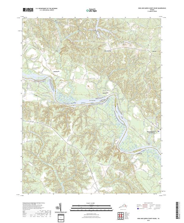
2022 Map of King And Queen Court House
USGS Topo · Published 2022About this map
Mattaponi River meanders through this coastal plain landscape, defining the boundary between King William and King and Queen counties. The river's influence is evident in the numerous wetland networks, such as Market Swamp, Exol Swamp, and Indian Town Swamp, which penetrate deep into the surrounding uplands. The namesake settlement of King and Queen Court House sits near the eastern edge of the quadrangle, serving as a focal point for the region alongside smaller communities like Stevensville, Rickahock, and Wakema.
Find a feature on this map
80 named features on this map. Tap any name to fly to it.
Don’t see what you’re looking for? This feature index may not catch every label — zoom into the map to look around manually.
Map Details
Editions of this 2022 King And Queen Court House Map
This is the sole edition of this map. No revisions or reprints were ever made.
Other maps of this area

1918 · Tappahannock
USGS Topo · 1:62,500

1918 · Aylett
USGS Topo · 1:62,500

1919 · New Kent
USGS Topo · 1:62,500

1919 · Tappahannock
USGS Topo · 1:62,500

1920 · King William
USGS Topo · 1:62,500

1933 · Aylett
USGS Topo · 1:62,500

1943 · Richmond
USGS Topo · 1:250,000

1944 · Dunnsville
USGS Topo · 1:31,680
1944 · Howertons
USGS Topo · 1:24,000
1945 · Howertons
USGS Topo · 1:31,680