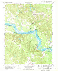
1968 Map of King And Queen Court House
USGS Topo · Published 1971About this map
The Mattaponi Indian Reservation sits along a prominent bend of the Mattaponi River, anchoring this Tidewater landscape in the late 1960s. The river serves as the primary geographic and jurisdictional boundary between King and Queen Co and King William Co, characterized by a network of tidal flats and landings such as Scotland Landing, Log Landing, and Courthouse Landing. The settlement pattern is dominated by rural crossroads and historical ecclesiastical sites, including Mattaponi Ch, Zion Ch, and Colosse Ch. State Geologist James L. Calver oversaw this survey, which captures the area before modern development altered the traditional rural character. From the administrative center at King and Queen Court House to the outlying community of Stevensville, the map details a land defined by its relationship to the water, visible in features like the Fish Hatchery and the numerous swamps like Exol Swamp and Dickeys Swamp that drain into the Mattaponi.
Find a feature on this map
47 named features on this map. Tap any name to fly to it.
Don’t see what you’re looking for? This feature index may not catch every label — zoom into the map to look around manually.
Map Details
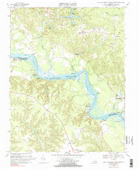
Editions of this 1968 King And Queen Court House Map
2 editions found
Other maps of this area

1918 · Tappahannock
USGS Topo · 1:62,500

1918 · Aylett
USGS Topo · 1:62,500

1919 · New Kent
USGS Topo · 1:62,500

1919 · Tappahannock
USGS Topo · 1:62,500

1920 · King William
USGS Topo · 1:62,500

1933 · Aylett
USGS Topo · 1:62,500

1943 · Richmond
USGS Topo · 1:250,000

1944 · Dunnsville
USGS Topo · 1:31,680
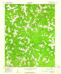
1944 · Howertons
USGS Topo · 1:24,000
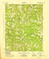
1945 · Howertons
USGS Topo · 1:31,680