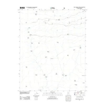
2012 Map of King Arthur Castle
USGS Topo · Published 2012About this map
Rainbow Plateau and the surrounding canyon country dominate this Coconino County terrain, characterized by prominent geological features named after Arthurian legend. The landscape is defined by massive formations such as King Arthur Castle, Guinevere Castle, and Holy Grail Temple, which rise above the depths of Merlin Abyss and Modred Abyss. This nomenclature suggests an early 20th-century explorer's influence on the region's toponyms, contrasting the natural landmarks with the functional infrastructure of the Swamp Ridge Rd and various forest service routes.
Find a feature on this map
43 named features on this map. Tap any name to fly to it.
Don’t see what you’re looking for? This feature index may not catch every label — zoom into the map to look around manually.
Map Details
Editions of this 2012 King Arthur Castle Map
This is the sole edition of this map. No revisions or reprints were ever made.
Other maps of this area

1886 · Kaibab
USGS Topo · 1:250,000

1903 · Bright Angel
USGS Topo · 1:48,000

1906 · Bright Angel
USGS Topo · 1:48,000

1953 · Grand Canyon
USGS Topo · 1:250,000

1957 · Grand Canyon
USGS Topo · 1:250,000

1958 · Grand Canyon
USGS Topo · 1:250,000

1960 · Grand Canyon
USGS Topo · 1:250,000

1962 · Bright Angel
USGS Topo · 1:48,000

1962 · De Motte Park
USGS Topo · 1:62,500

1962 · Havasupai Point
USGS Topo · 1:62,500