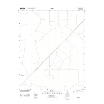
2012 Map of King
USGS Topo · Published 2012About this map
King stands as a central point in this northern Panhandle landscape, where the long diagonal of the railroad corridor dictates the geography of Hartley County. This high plains region is characterized by a precise grid of property lines and access routes, such as Co Rd 24 and Middlewater Rd, which serve the expansive ranching and agricultural interests of the area. Further northeast along the rail line lies Rehm, another small settlement node connected by the same transportation artery. The map illustrates a modern era of rural Texas where traditional land divisions meet the infrastructure of interstate commerce, preserving the spatial relationship between these isolated outposts and the vast open country surrounding them.
Find a feature on this map
4 named features on this map. Tap any name to fly to it.
Don’t see what you’re looking for? This feature index may not catch every label — zoom into the map to look around manually.
Map Details
Editions of this 2012 King Map
This is the sole edition of this map. No revisions or reprints were ever made.
Other maps of this area

1954 · Tucumcari
USGS Topo · 1:250,000

1954 · Dalhart
USGS Topo · 1:250,000

1958 · Tucumcari
USGS Topo · 1:250,000

1958 · Dalhart
USGS Topo · 1:250,000

1962 · Dalhart
USGS Topo · 1:250,000

1971 · Middle Water
USGS Topo · 1:24,000

1971 · Syndicate Hills
USGS Topo · 1:24,000

1973 · Pardue Camp
USGS Topo · 1:24,000

1973 · King SW
USGS Topo · 1:24,000

1973 · King
USGS Topo · 1:24,000