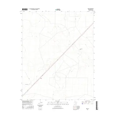
2016 Map of King
USGS Topo · Published 2016About this map
King anchors this high plains landscape in Hartley County, situated along a prominent transportation corridor in the Texas Panhandle. The terrain is defined by subtle elevation changes and the winding path of Cottonwood Draw, which provides a rare hydraulic feature in an otherwise arid expanse. The settlement pattern is sparse, reflecting the massive ranching and agricultural operations typical of this region, with a grid of rural routes including Co Rd L and Co Rd 24 providing access across the open range. Modern infrastructure like Middlewater Rd cuts across the landscape, connecting the few points of habitation and industry in this wide-open corner of Texas.
Find a feature on this map
6 named features on this map. Tap any name to fly to it.
Don’t see what you’re looking for? This feature index may not catch every label — zoom into the map to look around manually.
Map Details
Editions of this 2016 King Map
This is the sole edition of this map. No revisions or reprints were ever made.
Other maps of this area

1954 · Tucumcari
USGS Topo · 1:250,000

1954 · Dalhart
USGS Topo · 1:250,000

1958 · Tucumcari
USGS Topo · 1:250,000

1958 · Dalhart
USGS Topo · 1:250,000

1962 · Dalhart
USGS Topo · 1:250,000

1971 · Middle Water
USGS Topo · 1:24,000

1971 · Syndicate Hills
USGS Topo · 1:24,000

1973 · Pardue Camp
USGS Topo · 1:24,000

1973 · King SW
USGS Topo · 1:24,000

1973 · King
USGS Topo · 1:24,000